
The Coconino National Forest has expanded the boundaries of the existing year-round camping and campfire ban located adjacent to the City of Flagstaff in an attempt to lower the hazard from human-caused wildfires. A full map of the expanded camping and campfire ban, which went into effect May 1, 2023, is available on the Coconino National Forest’s website. This information is also on all Arizona Trail navigational resources, including the FarOut app, topo maps, passage maps, website, and other important resources so AZT users know where they can camp outside the restricted areas. For thru-hikers utilizing the Flagstaff Urban Route (Passage 33), the longest distance to cover is 13.5 miles – from Flagstaff to Snowbowl Road. Section hikers have much greater distances to cover to avoid the camping ban area, especially along Passages 32 and 34. In addition to addressing the immediate concern for future large human-caused wildfires, the expansion is part of a long-term risk reduction strategy focused on forest health and resiliency. The change was made in response to public feedback, with support from the Arizona Trail Association. If you're planning multi-day trips on the AZT near Flagstaff, please be aware of where you can and cannot camp.
Read More
Location
- Interstate 40 to Schultz Pass
Length
- 13.7 miles
Southern Trailhead: I-40, Cosnino Road Exit
- GPS Coordinates: 35.20249° N, 111.48559° W Note: this point is located across a private property boundary from the I-40 frontage road. No parking is allowed along the frontage road.
Access
Currently, there is not direct access to the southern boundary of this passage. The closest access to the south 4 miles south at Old Walnut Canyon Road: From Flagstaff, follow I-40 east and take exit 204 toward Walnut Canyon. Follow the paved Walnut Canyon Road (FR 622) south for 2.5 mi to Old Walnut Canyon Rd (FR 303). Turn right. The trailhead is about 1.7 mi west on the left (south) side of the road. There is room for horse trailers.
Northern Access Point: Schultz Pass
- GPS Coordinates: 35.28684° N, 111.62627° W
Access
To reach the starting point, drive on Interstate 17 (or I-40) to downtown Flagstaff, and drive north on Highway 180 (North Fort Valley Road). After you pass the Sechrist School on the right (east), continue 1.5 miles and then turn right (northeast) on Schultz Pass Road (FR 420). Follow this paved road 0.7 mile, turning left (north) at the fork in the road. Continue north for 3.9 miles to a small parking area on the right (south) side of Schultz Pass Road. The AZT can be found on the north side of Schultz Pass Road across from the parking area.
Trail Route Description
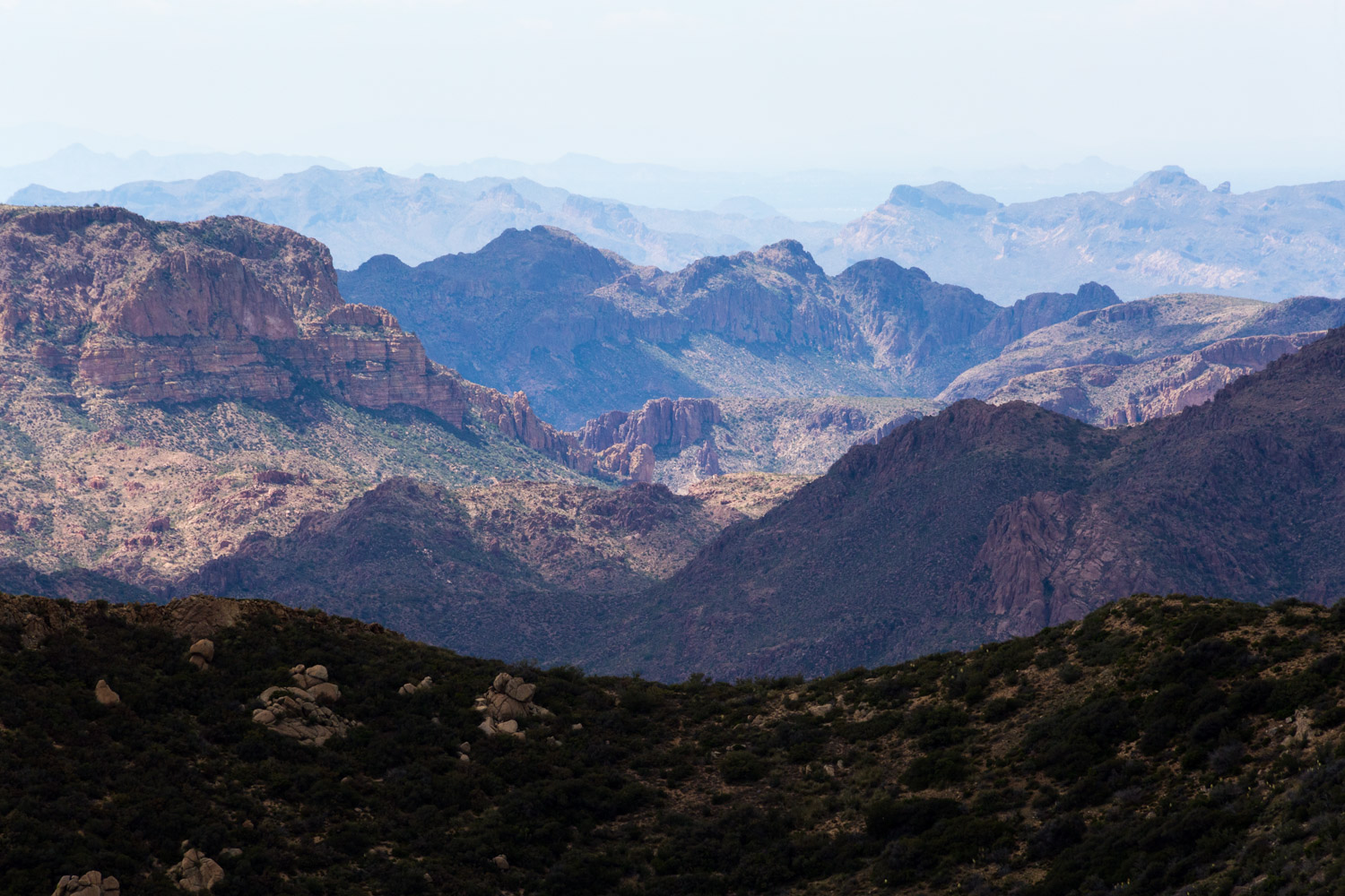
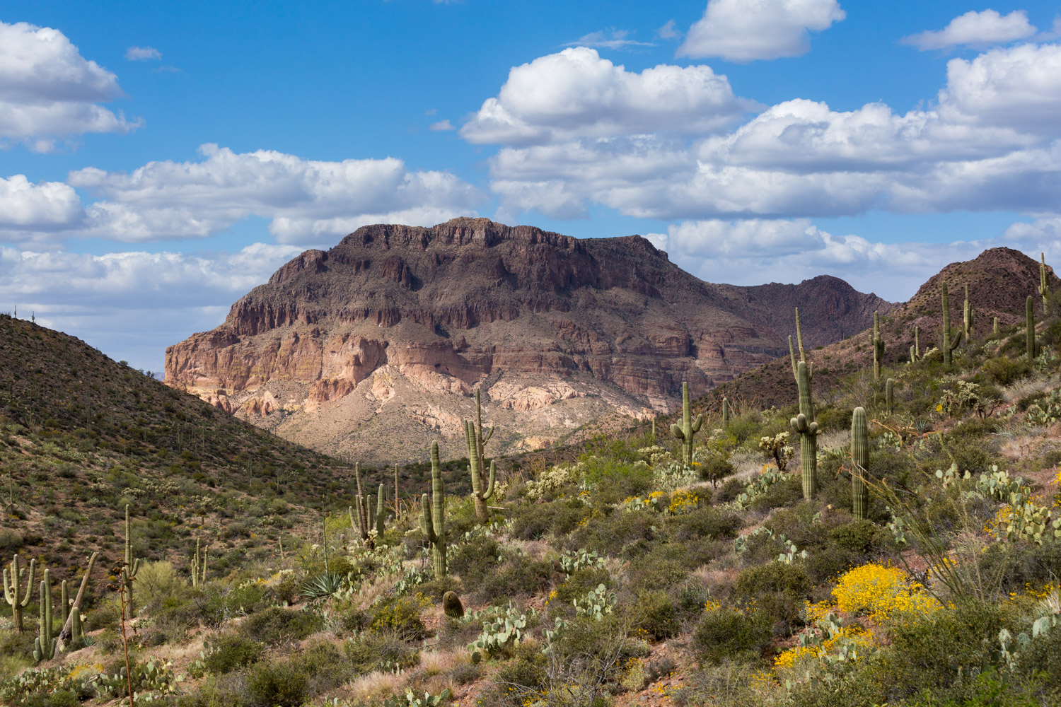
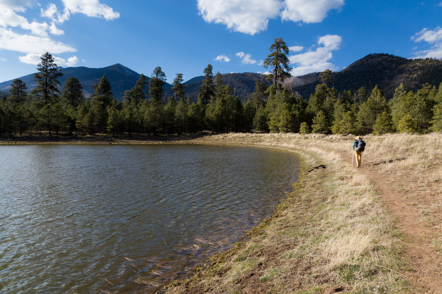
Passage 32 skirts the Turkey Hills and crosses the Rio de Flag near Elden Pueblo. The second half is part of the Elden Mountain Trail System and follows the base of Little Elden Mountain on its way up to Schultz Pass. If you’re in need of resupply or simply interested in seeing a little bit of Arizona’s most famous mountain town, you may wish to use the Flagstaff Urban Route (Passage 33) instead. If you’re more interested in maintaining the wilderness experience of the Arizona National Scenic Trail (AZT) then this is the passage for you!
Difficulty
- Moderate
Season(s)
- Spring, Summer and Fall
- Current weather forecast
Water
Water is available in Flagstaff as the trail cross Highway 89 and often can be found at Little Elden Springs. Check the online Arizona Trail Water Report for current information at https://aztrail.org/explore/water-sources/.
Notes/Warnings
- All water along this passage should be purified prior to use.
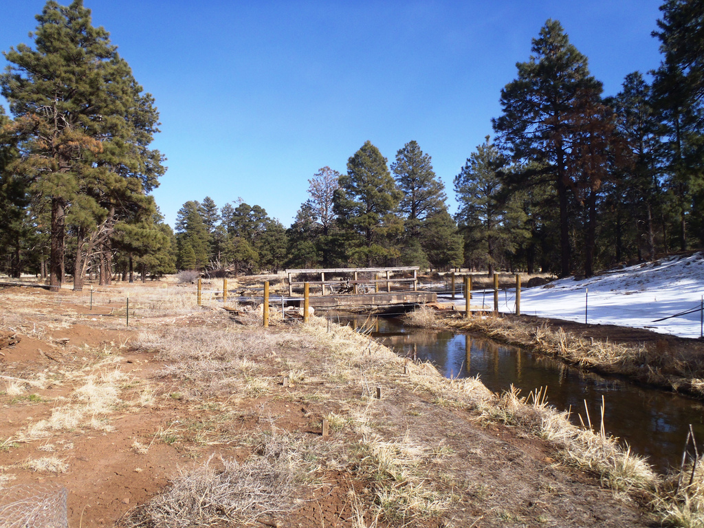
- The water in the Rio de Flag is contaminated and should not be used.
- The bridge over the Rio de Flag in this passage may be a problem for equestrians. There is an alternative crossing about 1/4 mile northeast/upstream. There are two-track roads on both sides of the stream that you can follow to get to this bridge.
Resources
- Passage Map
- USGS Topographic Maps: Winona, Flagstaff East, Sunset Crater West and Humphreys Peak.
- Coconino National Forest – Visitors Guide.
- Coconino National Forest – Recreational Opportunity Guide.
- Coconino National Forest map.
- BLM Information Center maps.
For more information
- The Passage Steward
- Coconino National Forest, Flagstaff Ranger District, 5075 N. Hwy 89, Flagstaff, AZ 86004 (928) 526-0866.
- BLM Information Center (602) 417-9300.
Current Passage Info
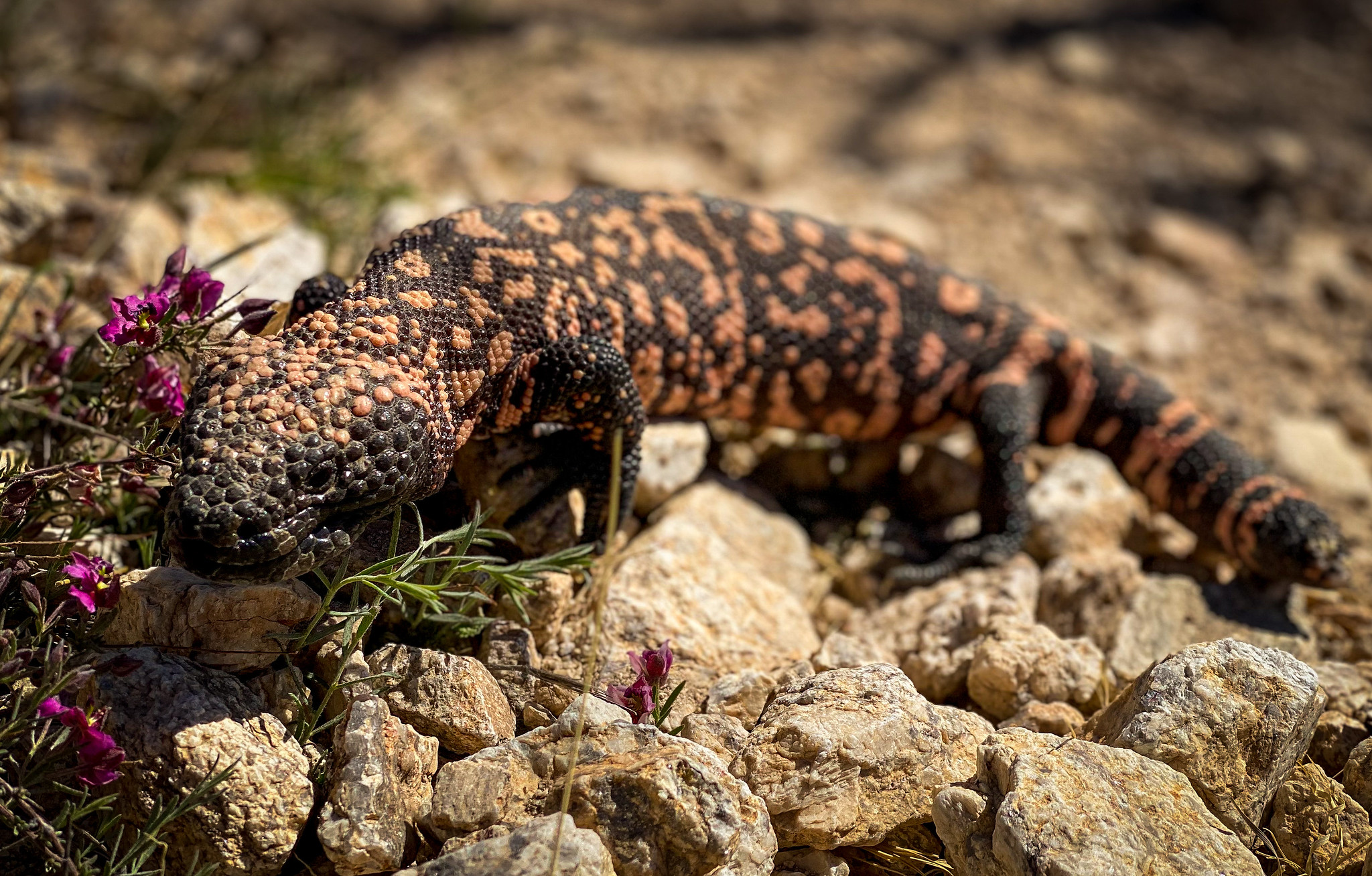
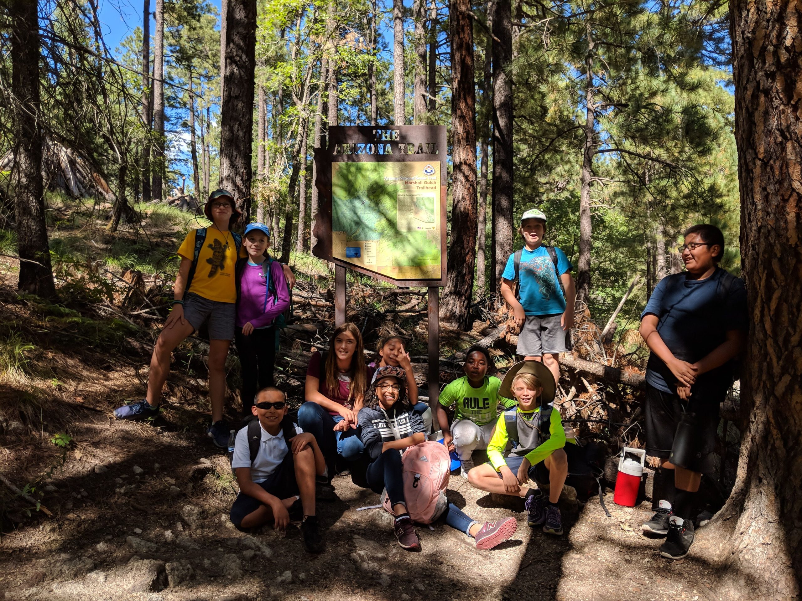
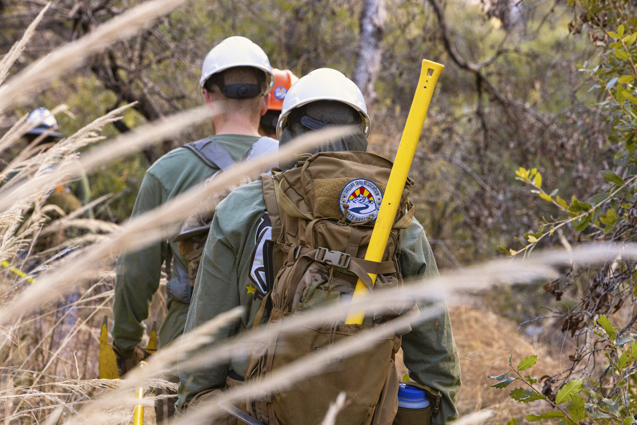
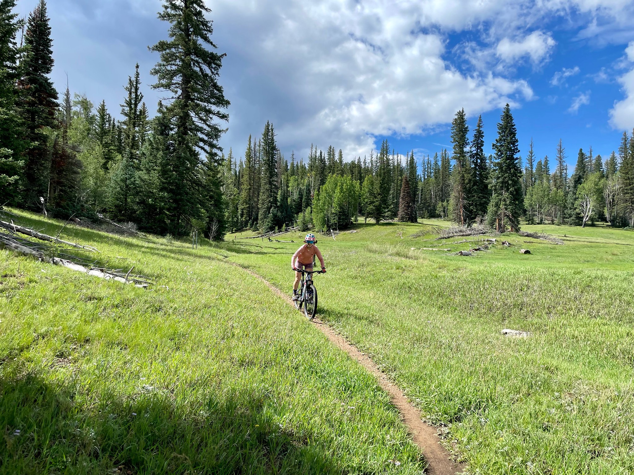
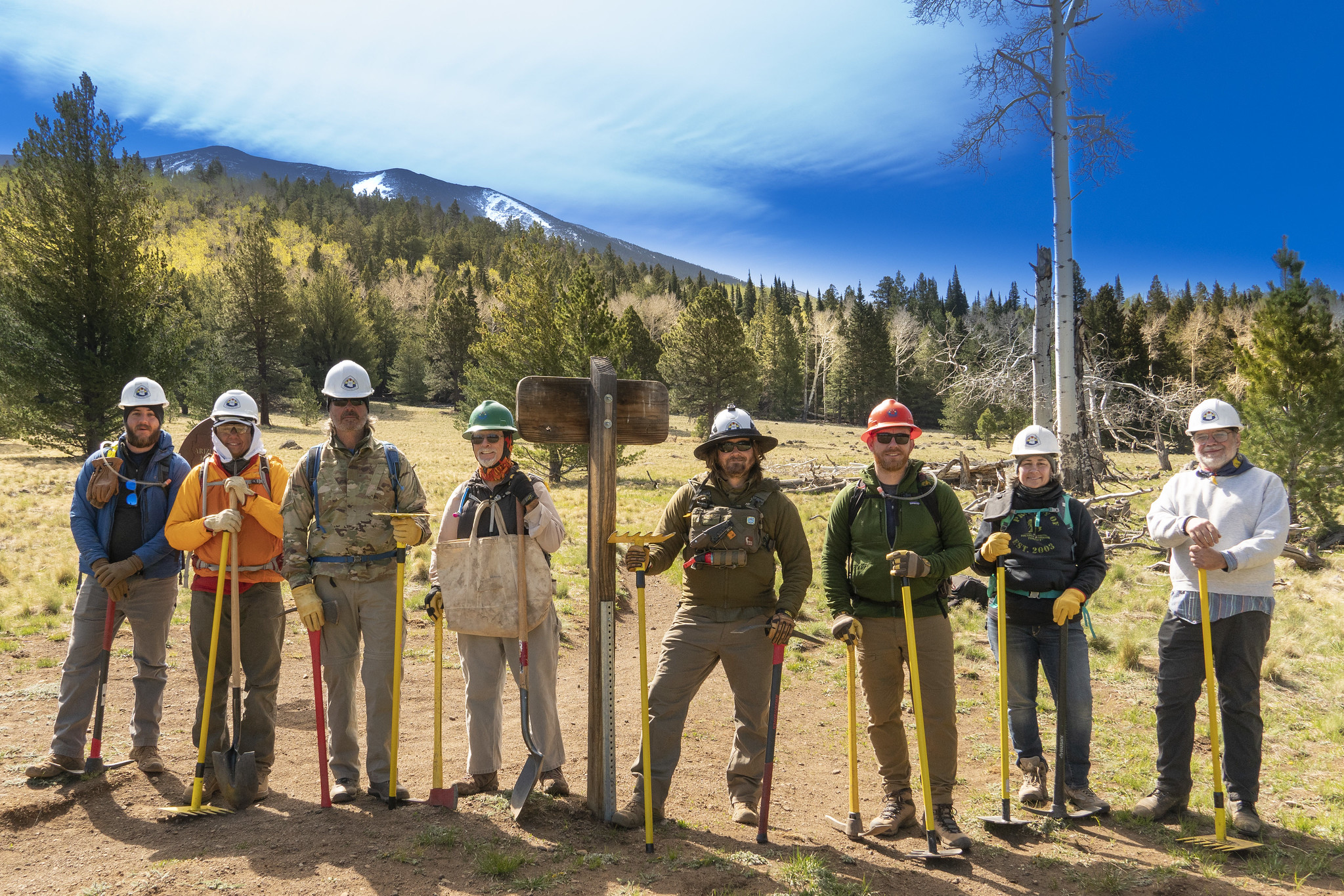
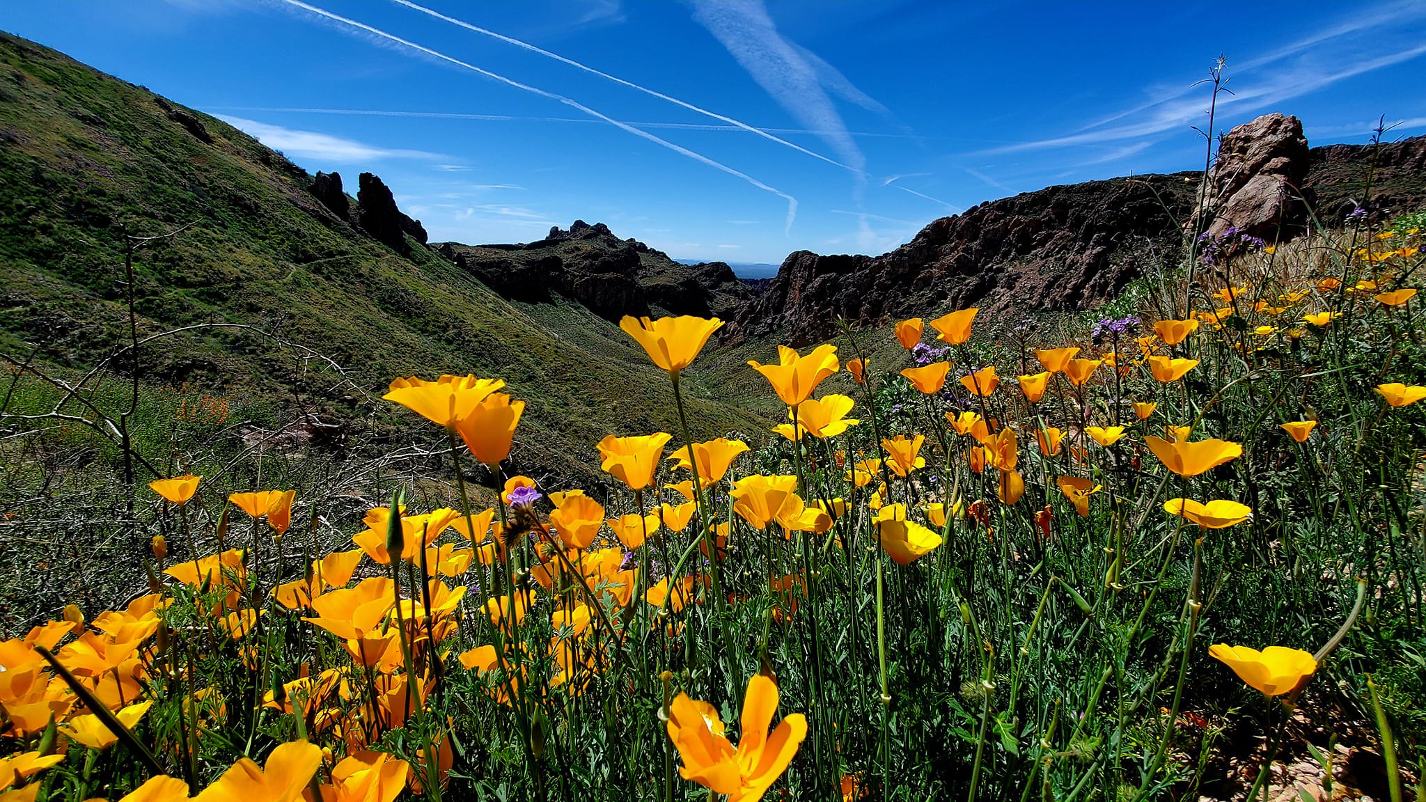
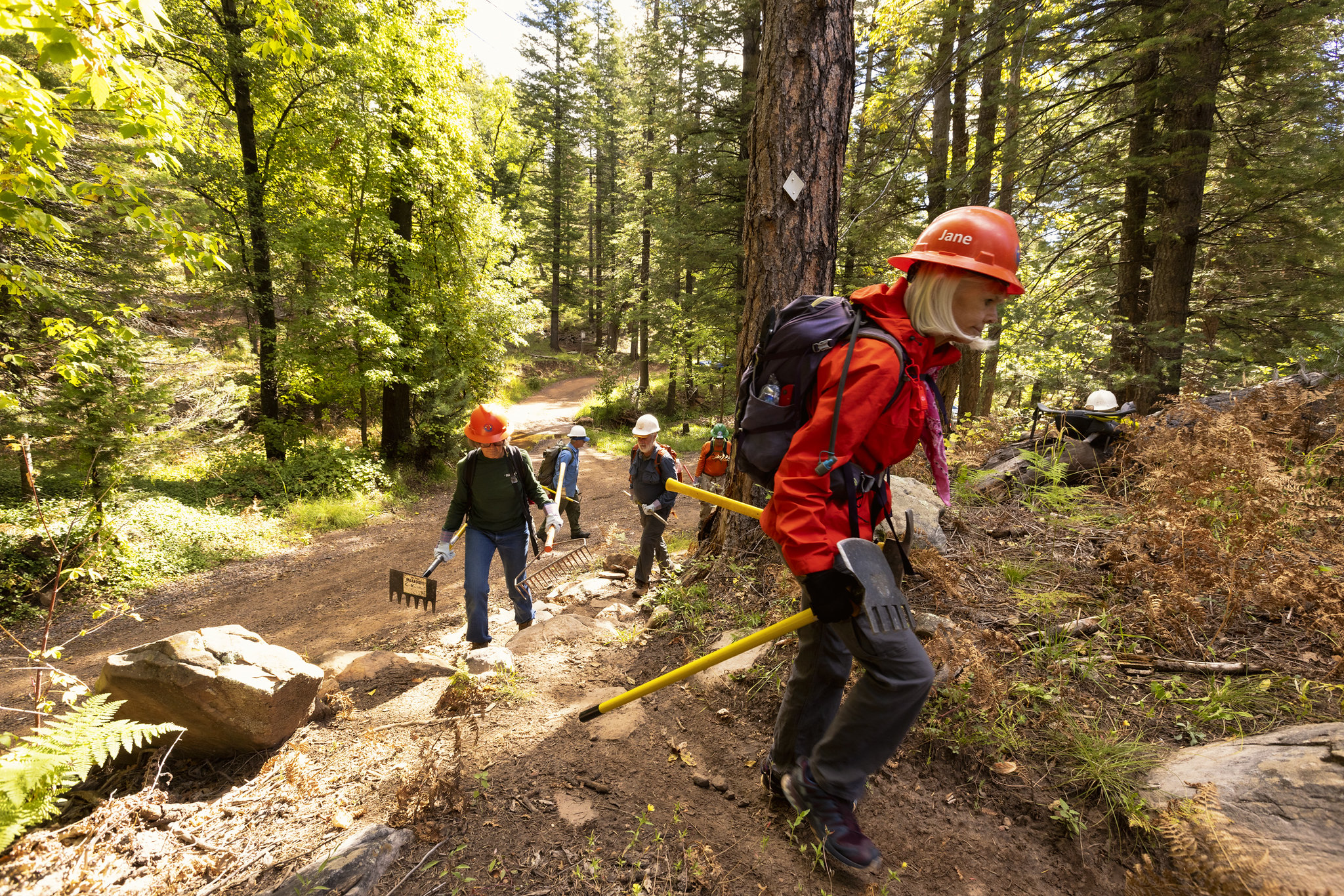
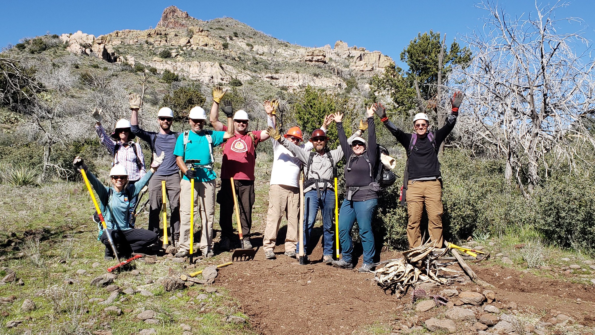
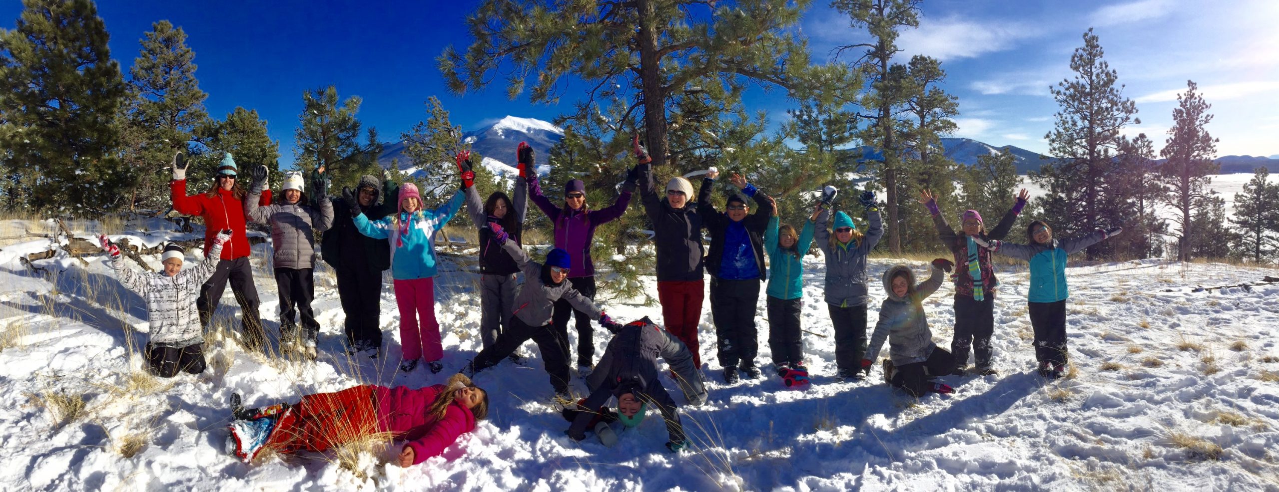
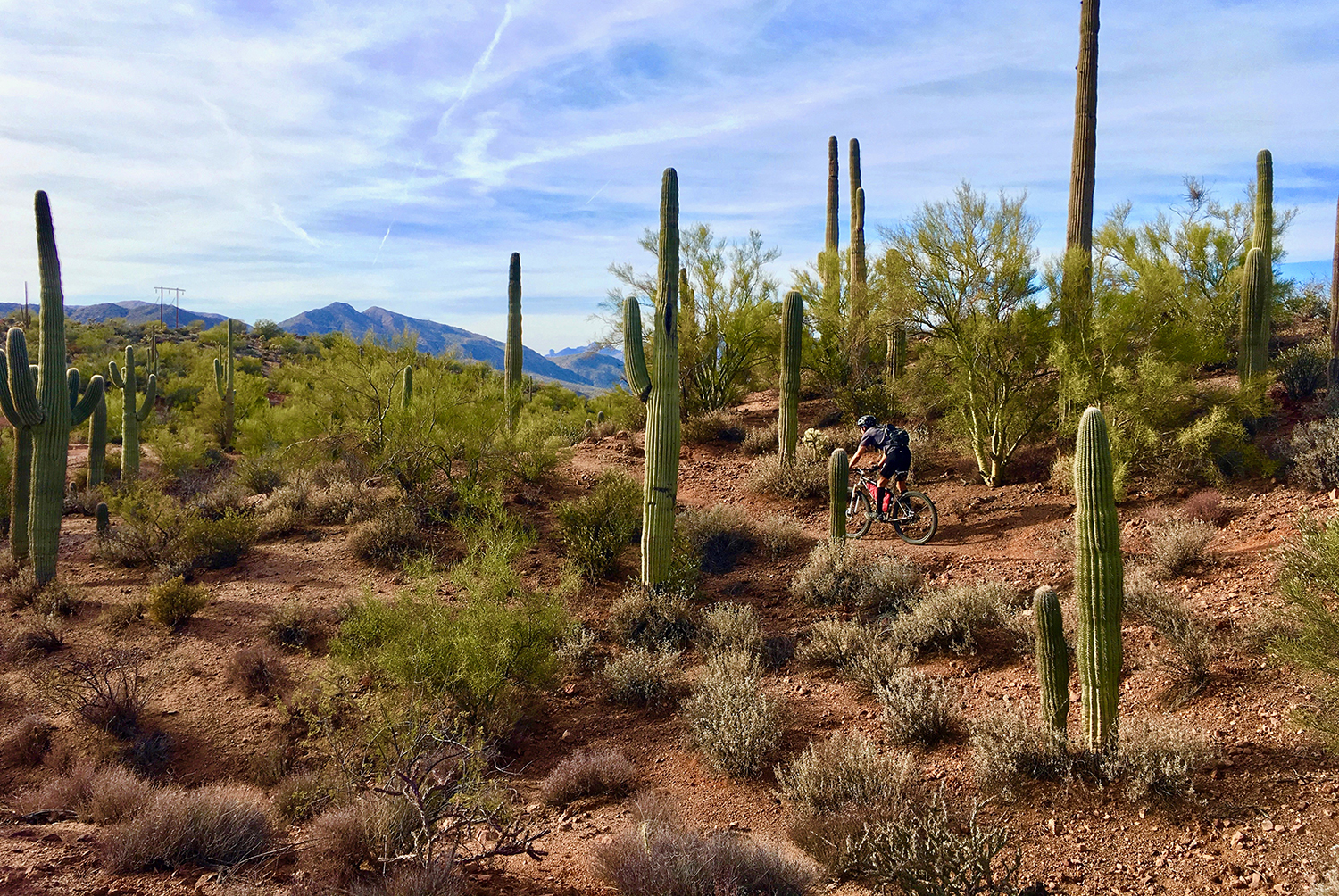
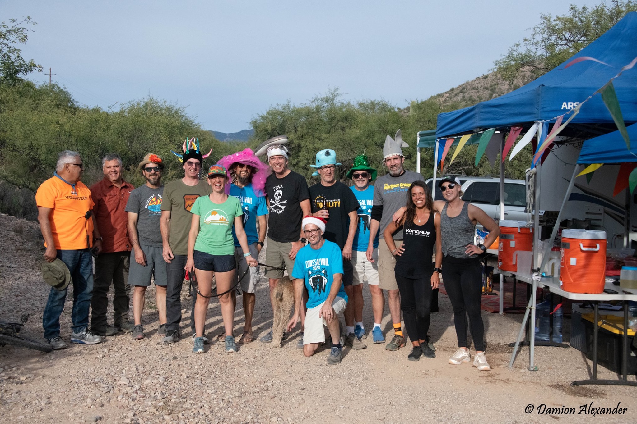
Flickr Photos
Photos from the Arizona Trail Association’s Flickr galleries, for this specific passage. View the entire Flickr account.
[AFG_gallery id=’33’]
