Location
- Lone Pine Saddle to Sunflower
Length
- 19.3 miles
Southern Trailhead: Pigeon Spring/Lone Pine Saddle Trailhead
- GPS Coordinates: 33.71095° N, 111.33618° W
Access
From the suspension bridge near Roosevelt Dam, drive north on AZ 188 for 11 miles and turn left (west) at mile marker 255 onto El Oso Rd. (FR 143). At 4.4 miles from the highway, the road appears to fork. Take the sharp right turn and follow the road as it climbs. Continue another 4.2 miles to an intersection with FR 422, (FR 143 continues on to the south, which is also the path of the AZT). The AZT arrives from the left (southeast) on FR 143. Drive 1 mile on FR 143 to an intersection, bear left onto FR 648, and continue almost another mile to Pigeon Spring Trailhead on the left.
To reach a larger, more developed parking area and trailhead at Lone Pine Saddle a bit farther on, continue 0.5 miles ahead. Parking here allows you to hike on singletrack into the Four Peaks Wilderness and meet the AZT in about 2 miles.
Northern Access Point: Sunflower
- GPS Coordinates: 33.86250° N, 111.47278° W
Access
From Phoenix, take AZ 87 north to FR 22 (Bushnell Tanks Road). Turn right and park at the gate about 150 yards off the highway. This road is currently closed to vehicle traffic by Tonto National Forest. You can walk down the road about 0.5 miles and turn right at the sign and drop into Sycamore Creek flood plain. Walk up stream following the cairns and across two drainages, follow the next drainage down to and across Sycamore Creek. Climb out of the creek bed, turn right and follow the trail to the AZT. A large metal sign marks the connection to the AZT.
Trail Route Description
Passage 21 follows Forest Road 422 (Pigeon Spring Road) across the Tonto National Forest.
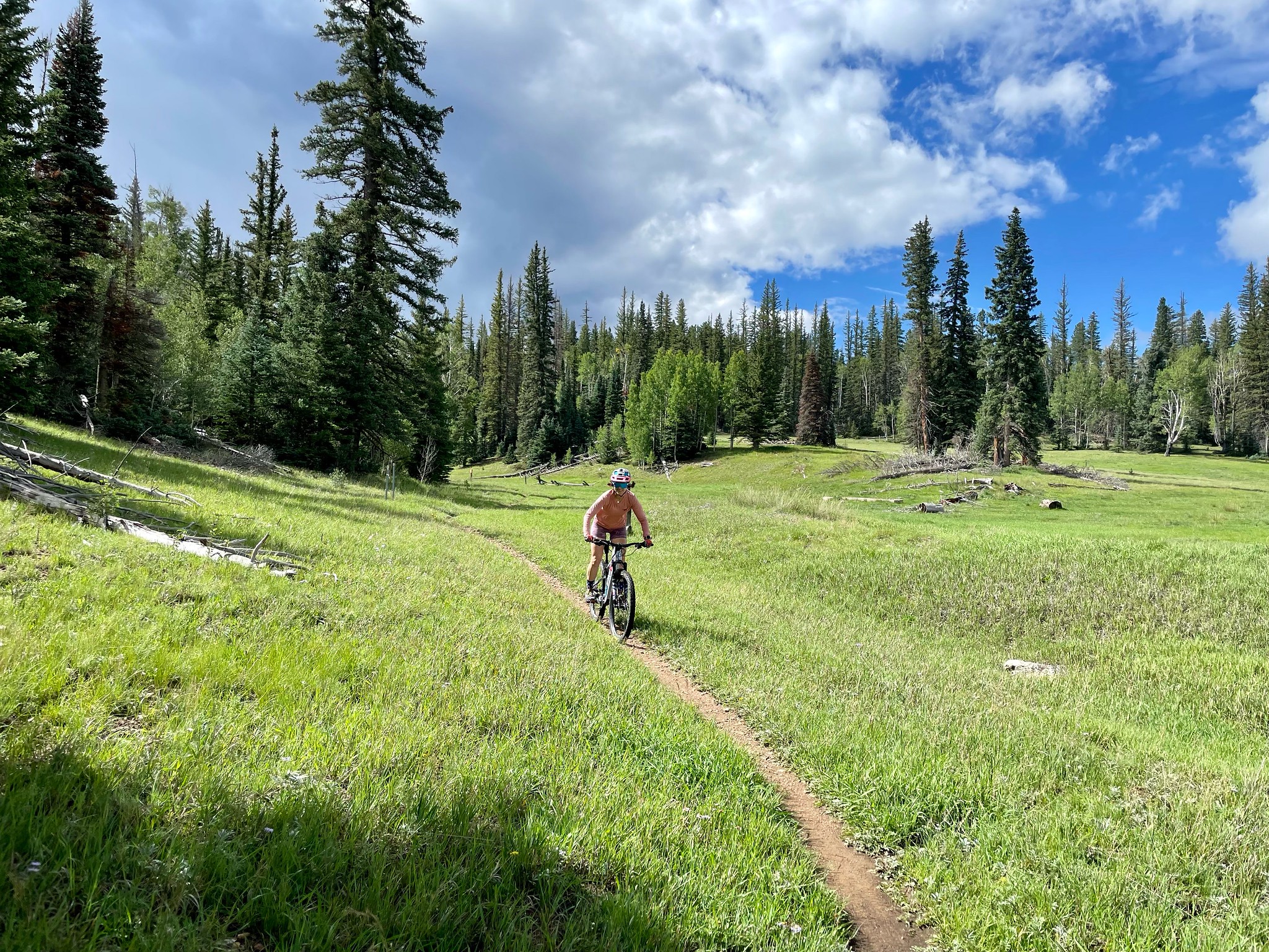
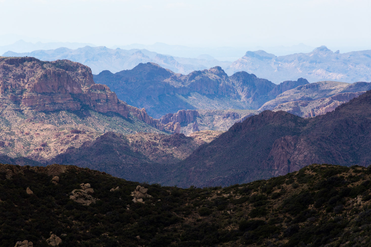
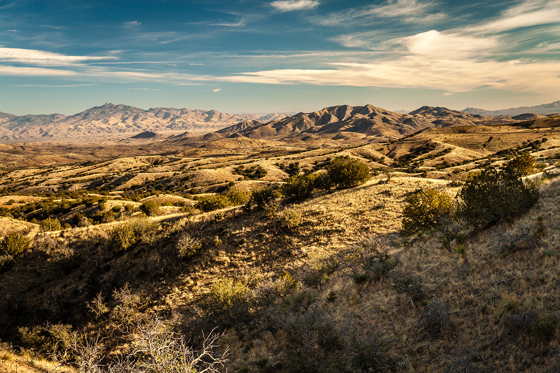
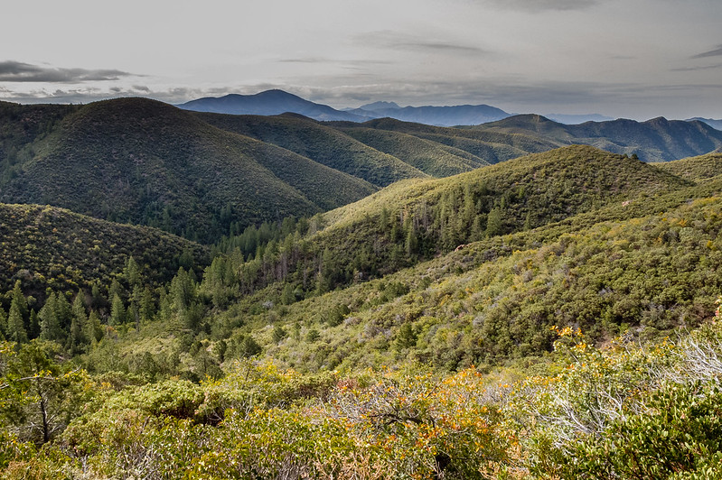
This section begins with a dirt road that follows a gentle rolling terrain along a scenic ridgeline. It passes through ponderosa pine and oak forest and features expansive views of Roosevelt Lake, Bartlett Reservoir and the mighty Mazatzal Mountains. In spite of this passage’s accessibility, it still manages to maintain a remote feel. However, you should be prepared to see off-road vehicle enthusiasts driving along the Mazatzal Divide Road (FR 422), especially if you’re there on a weekend.
A little over halfway through this section the route turns off the road and onto singletrack.
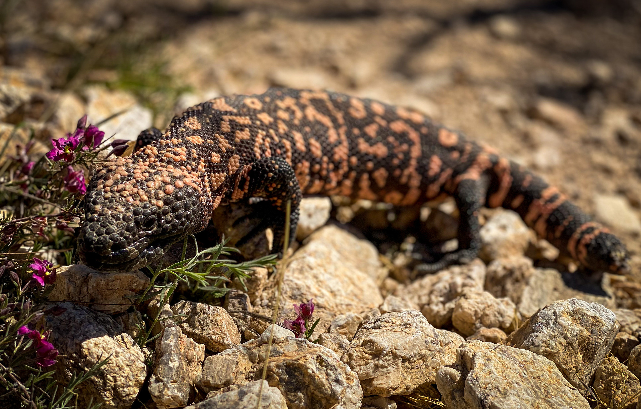
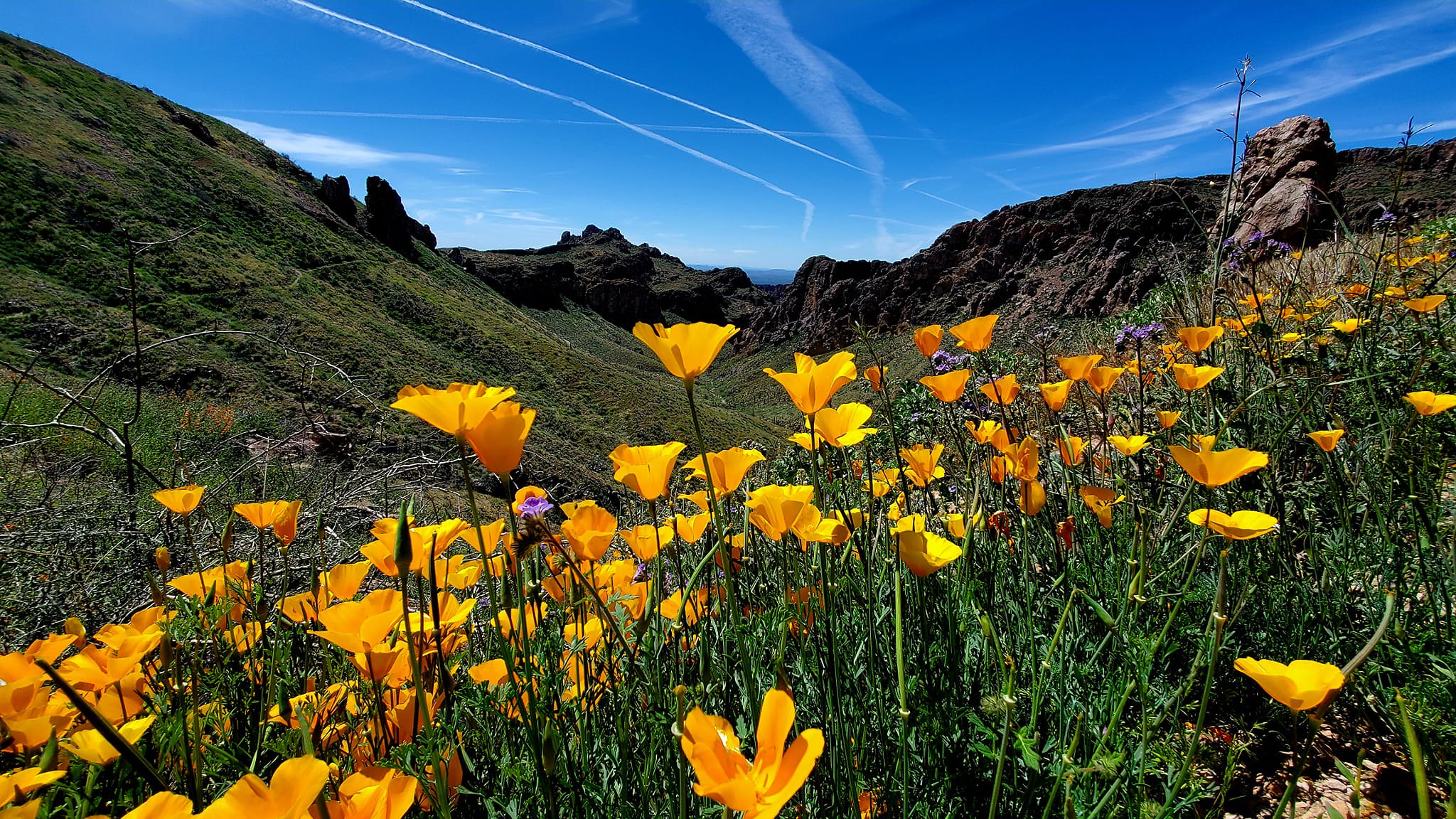
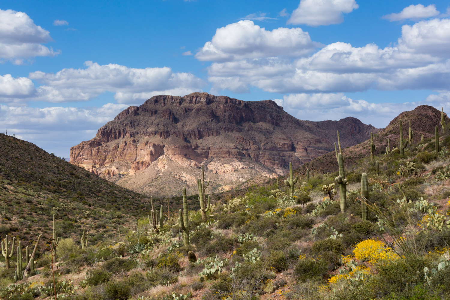
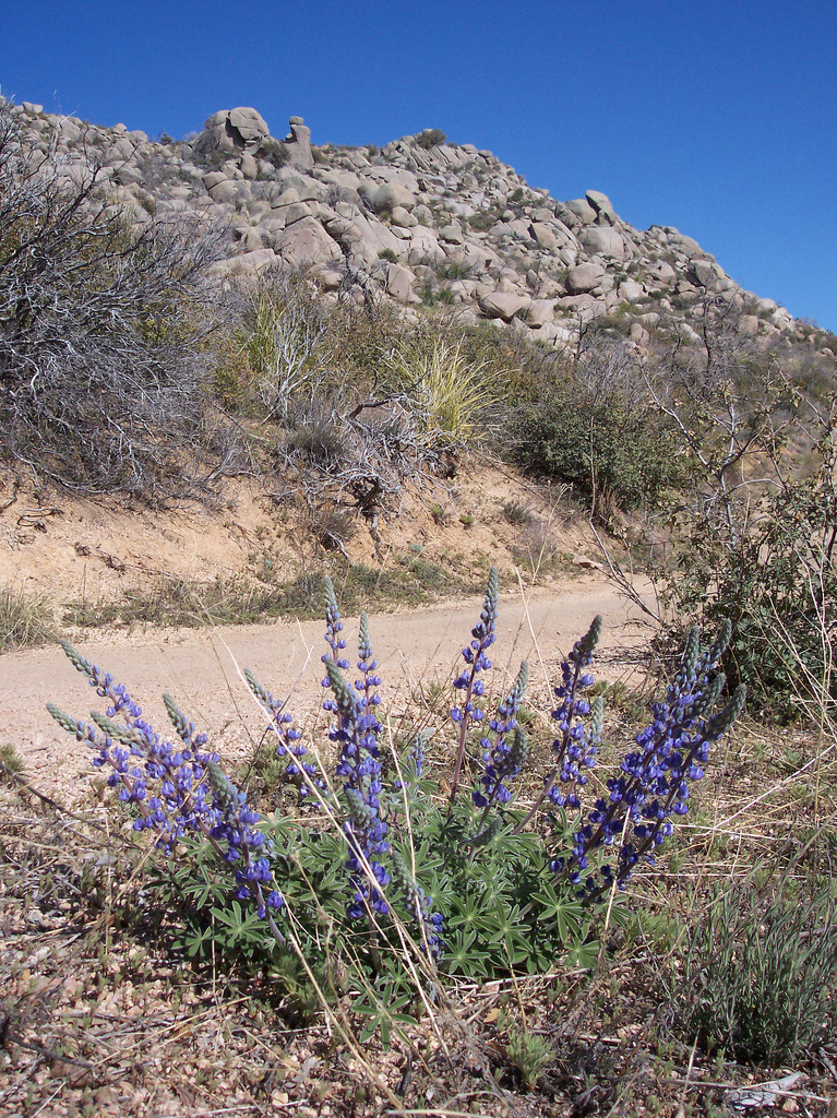
The trail enters the Boulder Creek drainage and begins a long descent with beautiful views toward Sycamore Creek. It winds through lush chaparral, granite boulders, and colorful wildflowers.
This section features many opportunities for creekside breaks which is a unique and special experience that should not be taken for granted when traveling through the desert!
Difficulty
- Moderate to Difficult
Season(s)
All year. Snow can be present at higher elevations after winter storms and lower elevations can be quite warm in summer
Water
Water can usually be found in Sycamore Creek. There is seasonal in Boulder Creek. Check the online Arizona Trail Water Report for current information at https://aztrail.org/explore/water-sources/.
Notes/Warnings
- All water along this passage should be purified prior to use.
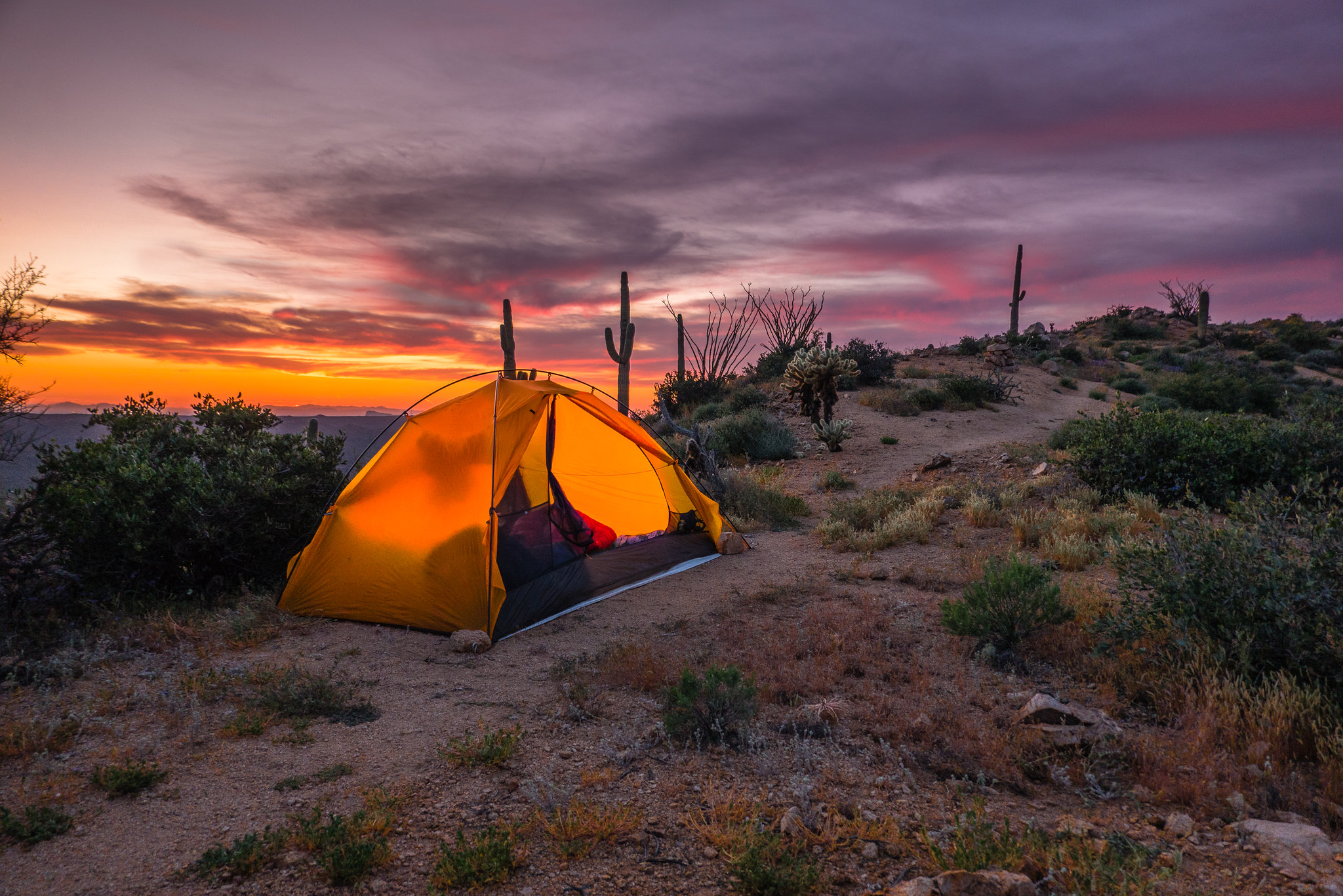
- The section of this passage along FR 422 passes through a heavy ponderosa and oak forest that has many nice campsites.
Resources
- Map of Passage 21
- USGS Topographic Maps: Four Peaks and Boulder Mountain.
- Tonto National Forest map.
- BLM Information Center maps.
For more information
- The Passage Steward
- Tonto National Forest, Tonto Basin Ranger District, 28079 N. AZ Hwy 188, Roosevelt, AZ 85545 (602) 225-5395.
- Tonto National Forest, Mesa Ranger District, 5140 E. Ingram St, Mesa, AZ 85205 (480) 610-3341.
- BLM Information Center (602) 417-9300.
