


Norovirus is a highly contagious virus that causes acute gastrointestinal illness and has recently affected hikers and bikers along certain sections of the Arizona National Scenic Trail (AZT), particularly around Kearny, Superior and Roosevelt. This advisory is intended to help trail users understand the risk and take proper precautions. What is Norovirus? Norovirus spreads easily through contaminated food, water, surfaces, or person-to-person contact. Symptoms typically include: Nausea Vomiting Diarrhea Stomach cramps Symptoms often appear 12–48 hours after exposure and can be intense but typically resolve within a few days. Preventive Measures for Trail Users Wash Hands with Soap and Water -- alcohol-based hand sanitizers are not effective against norovirus. Use soap and water, especially after using the bathroom and before eating. Practice Safe Food Handling Cook food thoroughly. Avoid sharing utensils, water bottles, or food with others. Maintain sanitation in the Backcountry Dig catholes 6–8 inches deep and at least 200 feet from water sources, campsites, and trails. Pack out trash and used toilet paper if possible. Treat Drinking Water Properly -- boil water or use chemical disinfectants. Standard filters may not remove norovirus. If You Get Sick Isolate yourself from other trail users to reduce the spread. Stay hydrated...
Read More
Location
- Rogers Trough Trailhead to Vineyard Trailhead
Length
- 28.8 miles
Resources
- MAP
- PROFILE
- TRACK
- Waypoints: GPS | MP
- Arizona Euro-American History
- USGS Topographic Maps: Pinyon Mountain and Theodore Roosevelt Dam.
- Superstition Wilderness Map – Tonto National Forest.
- Tonto National Forest map.
- BLM Information Center maps.
- “Hikers Guide to the Superstition Wilderness” by Jack Carlson and Elizabeth Stewart, Clearcreek Publishing, Tempe, Arizona.
Southern Trailhead: Rogers Trough Trailhead
- GPS Coordinates: 33.42223° N, 111.17325° W
Access
From Florence Junction, travel east on US 60 for 1.8 miles, turn left (north) onto Queen Valley Road, continue 1.8 miles, and turn right (east) on FR 357. Drive 3 miles and turn left (north) onto FR 172 at a sign for Roger’s Trough Trailhead (there is a sign for FR 172 about 20 yards after the turn). Continue 9.2 miles to a fork and bear right onto FR 172A. Follow this road 3.7 miles, bear left at an intersection with FR 650 (which is also the route of the AZT arriving from Passage 18), and continue 0.4-mile to a very large parking area. The trail departs from the north end of the parking lot.
From the rest stop in Superior, travel west about 12 miles on US 60 to Queen Valley Road and follow the directions above. Previous directions from Superior are no longer applicable since FR 357 has been closed to through traffic.
Northern Trailhead: Vineyard Trailhead
- GPS Coordinates: 33.67650° N, 111.16104° W
Access
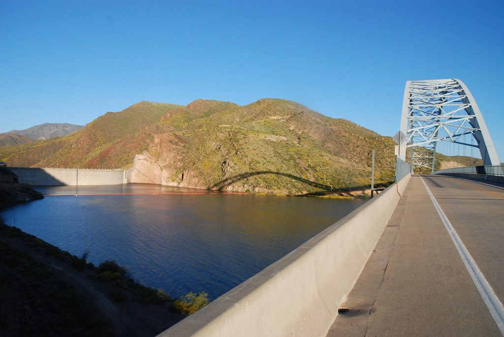
This is near Theodore Roosevelt Dam, where AZ 88 and AZ 188 meet. The parking area is at the north end of the suspension bridge, on the east side of the highway.
Trail Route Description
Passage 19 travels across the east side of the Superstition Wilderness, an area defined by a stark beauty with rugged volcanic peaks, rocky canyons, and a rich history filled with mysterious legends and lore that attract tourists to this day. Although the Superstition Wilderness is a popular place to visit, this particular section is not easily accessible and therefore more remote.
The remote nature of this section is likely what attracted Elisha Reavis back in 1874. Reavis was a homesteader who settled in the area and built a ranch along a nearby creek. The trail passes by the site of the ranch which still has flowing water and a few apple trees remaining from an old orchard that he planted.
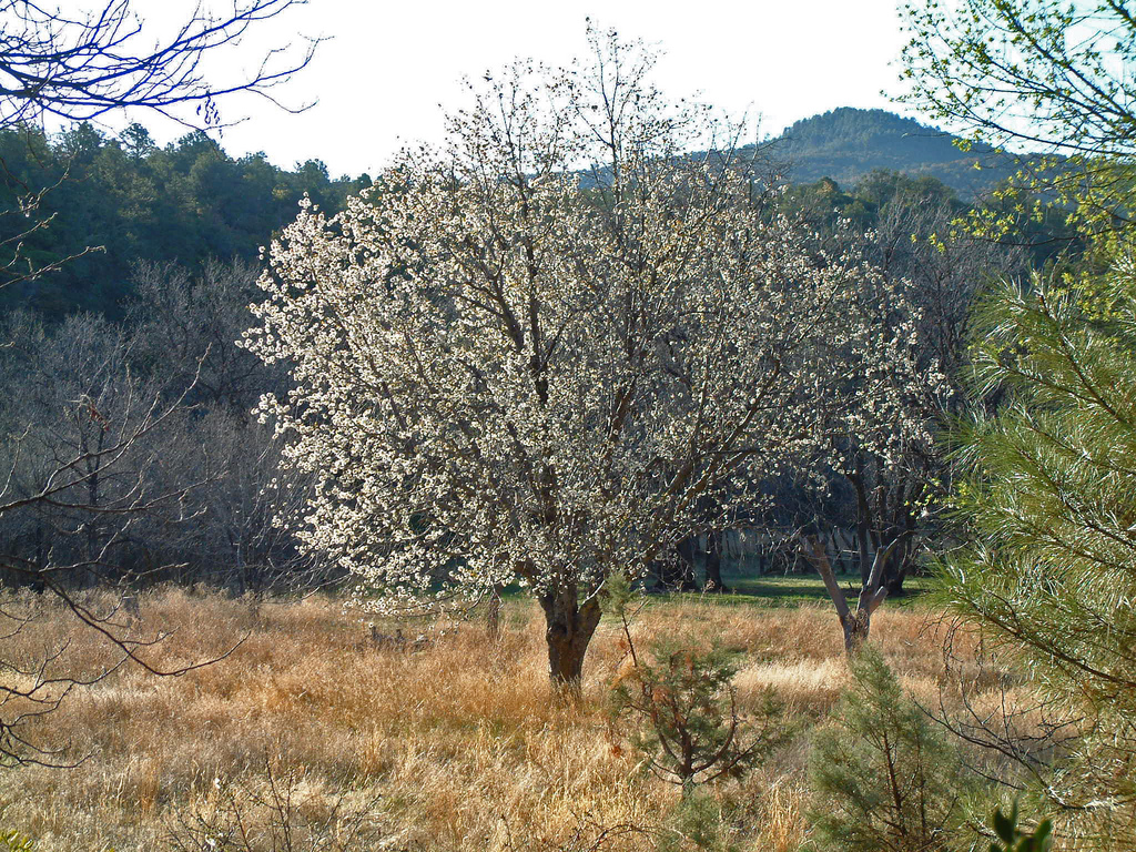
This section features desert grassland, chaparral brush, and piñon-juniper woodland along with lush canyons, cottonwood and sycamore trees. The trail makes steep ascents up rocky and rugged terrain and crosses several canyons where it may be difficult to find the trail, and cairns are used to mark the way.
After several challenging miles the trail climbs out of Cottonwood Canyon and you are rewarded by reaching a high point with expansive views overlooking Roosevelt Lake followed by a long, scenic descent to get there.
In the final miles, you’ll find little to no shade and rising temperatures. Luckily, Roosevelt Lake is a welcomed rest stop with a general store, cafe, and plenty of sandy beaches to sit and soak your tired feet! The AZT follows the highway over the bridge, one of the few segments of paved road along the entire 800-mile trail.
Difficulty
- Difficult
Season(s)
- Fall, Winter and Spring
- Current weather forecast
Water
Water can usually be found at Reavis Creek, Walnut Spring, Cottonwood Spring and Roosevelt Lake. Check the online Arizona Trail Water Report for current information at https://aztrail.org/explore/water-sources/.
Notes/Warnings
- All water along this passage should be purified prior to use.
- Mountain bikes are prohibited in the Superstition Wilderness.
- There are good campsites upstream and downstream from the Reavis Ranch site, but camp at least 300 feet from water and trails.
For more information
- The Passage Steward
- Tonto National Forest, Mesa Ranger District, 5140 E. Ingram St, Mesa, AZ 85205 (480) 610-3341.
- Tonto National Forest, Tonto Basin Ranger District, 28079 N. AZ Hwy 188, Roosevelt, AZ 85545 (602) 225 5395.
- BLM Information Center (602) 417-9300.
