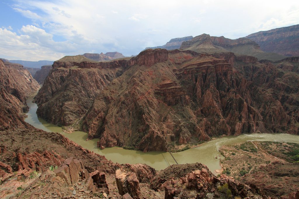
Release from GRCA: NORTH KAIBAB TRAIL north of the Manzanita Day Use Area to the Supai Tunnel will have temporary day-use trail closures (Manzanita Day Use Area will be available for use during the closures) CLOSED - Monday, April 22, 2024, through Thursday, April 25, 2024, 9am - 4:30pm CLOSED - Monday, April 29, 2024, through Thursday, May 2, 2024, 9am - 4:30pm No hikers or other trail users will be allowed to pass through closure areas under any circumstances. The...
Read More
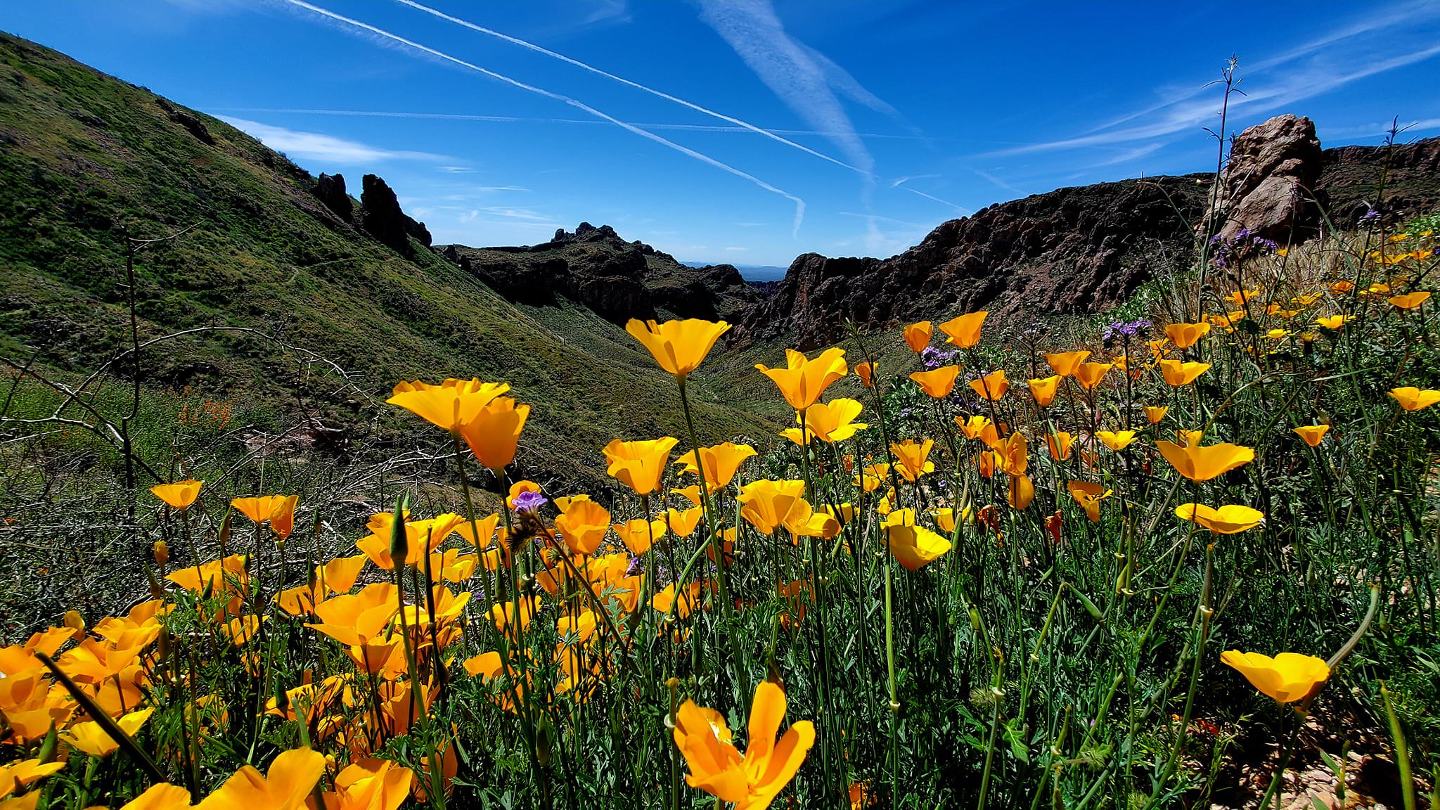
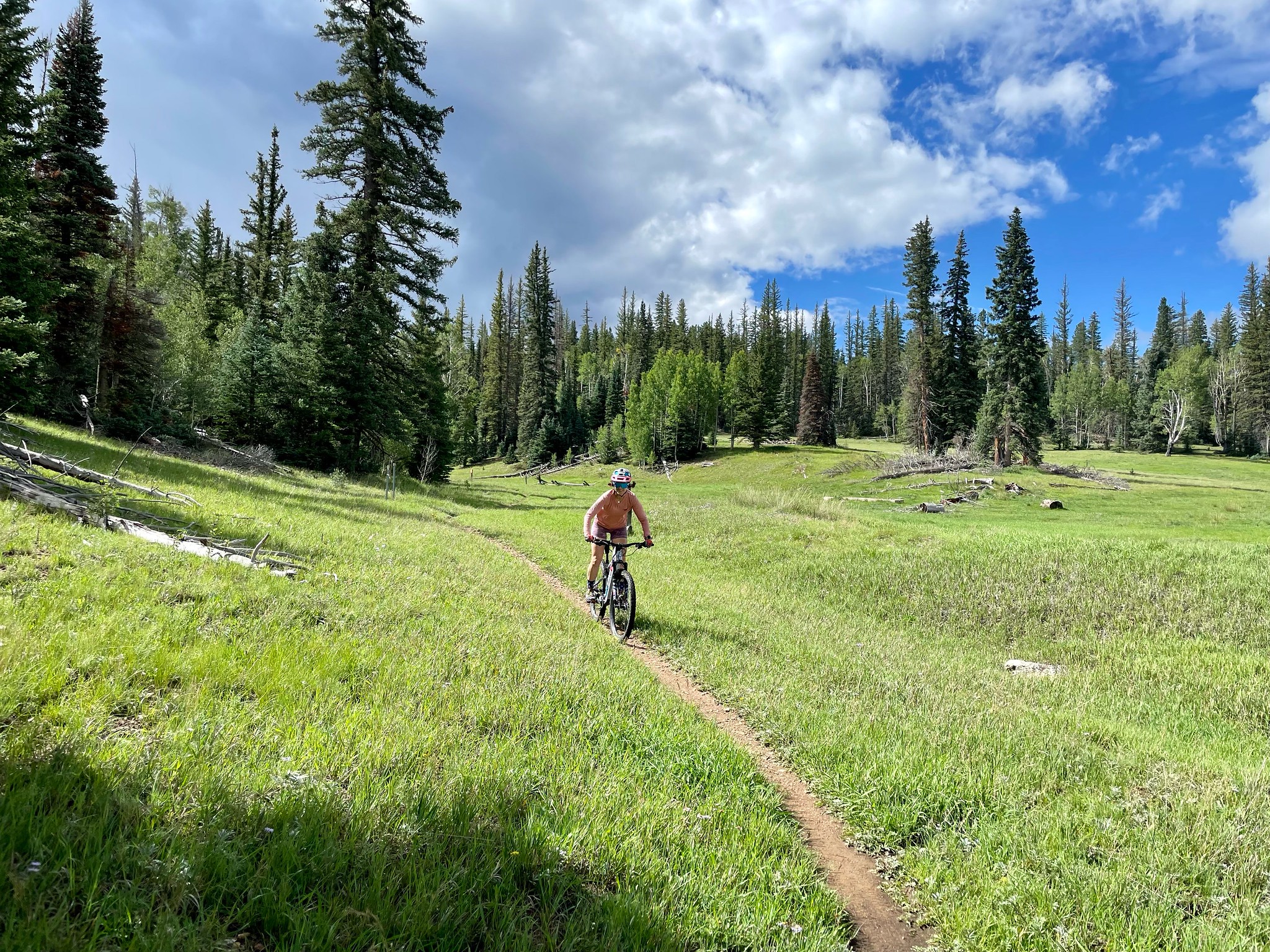
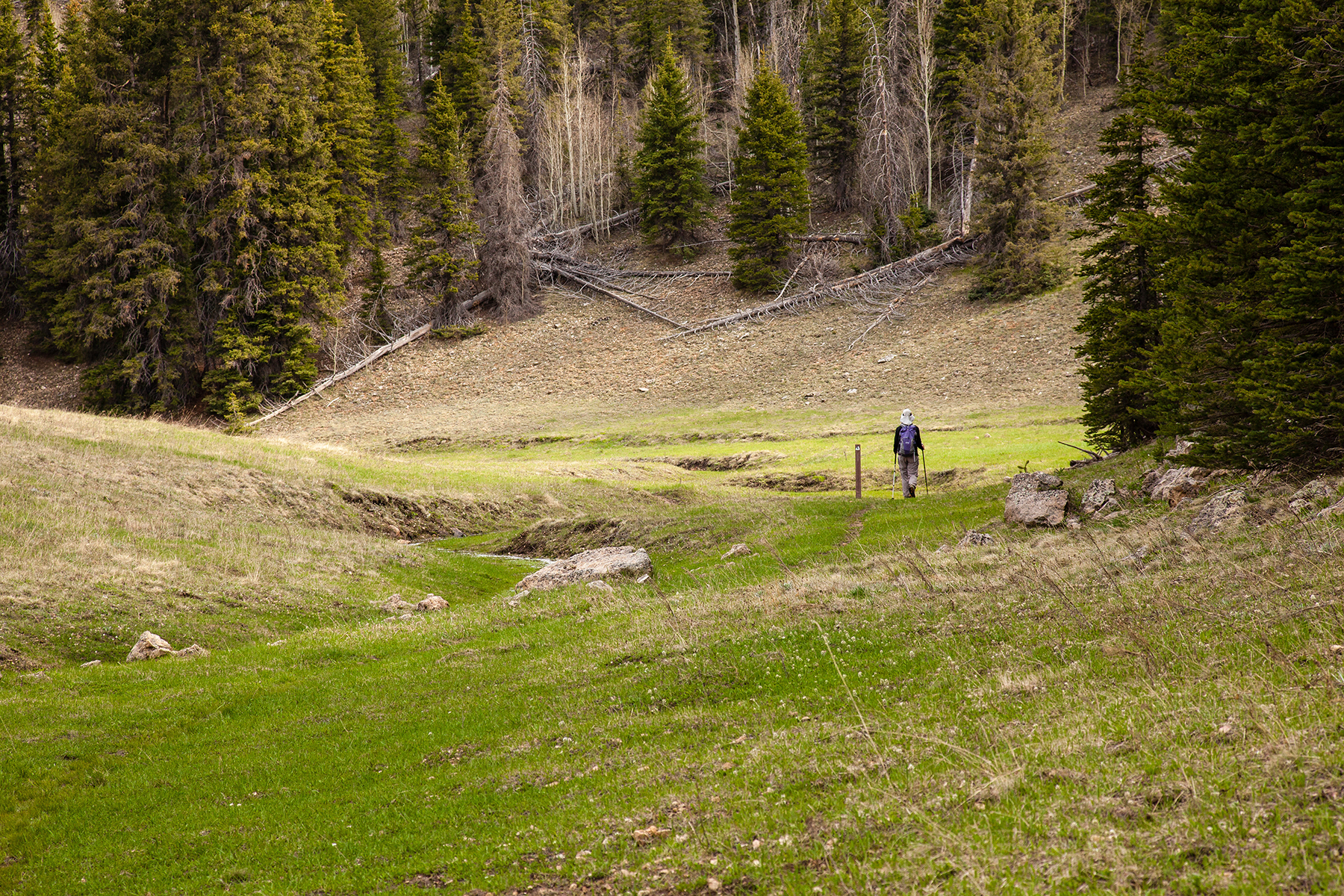
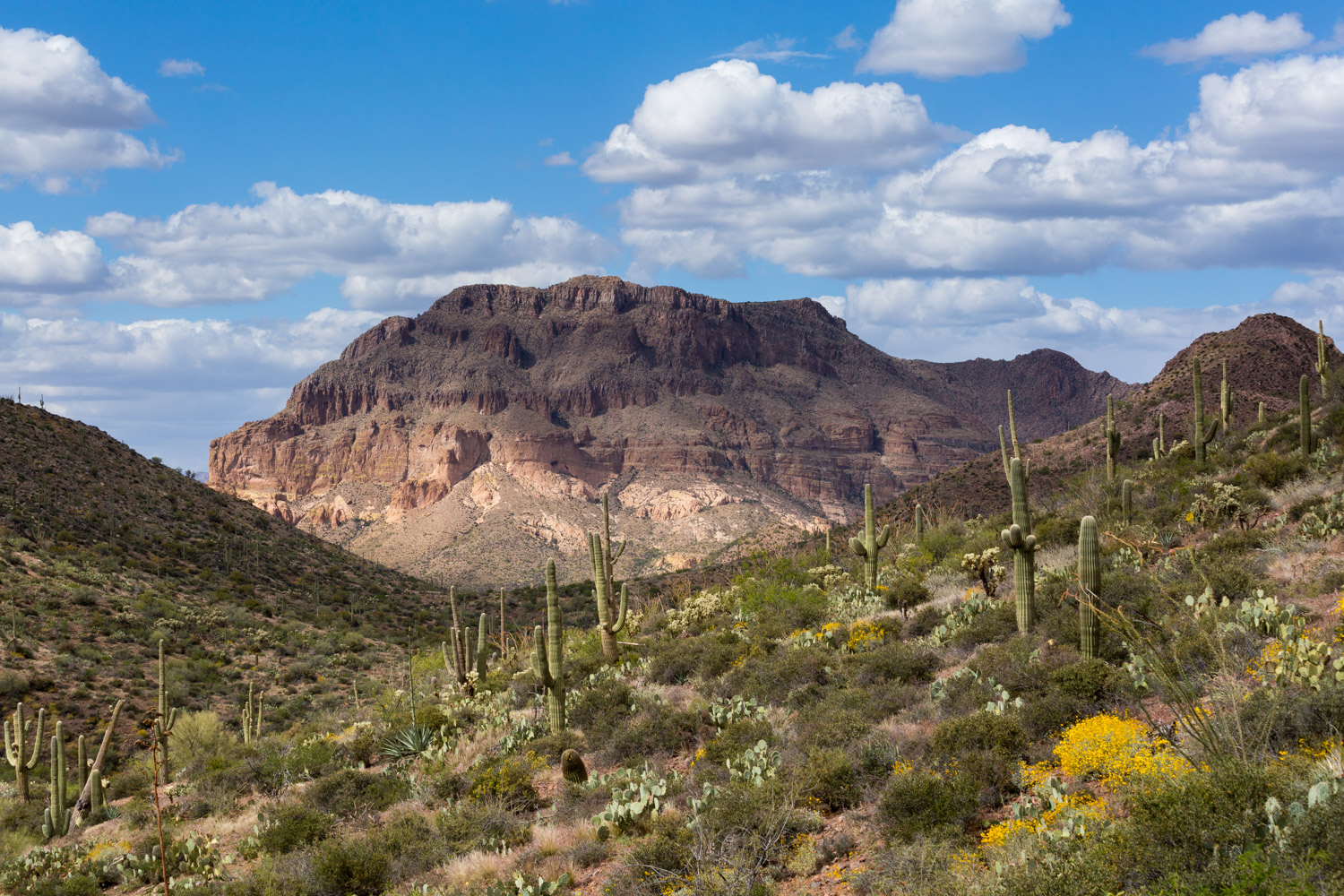
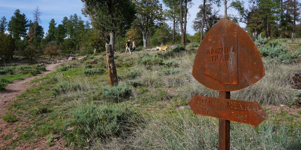
Welcome to the Arizona Trail
The Arizona National Scenic Trail is a complete non-motorized path from Mexico to Utah, stretching 800 diverse miles across Arizona to link deserts, mountains, canyons, forests, history, communities and diverse peoples.
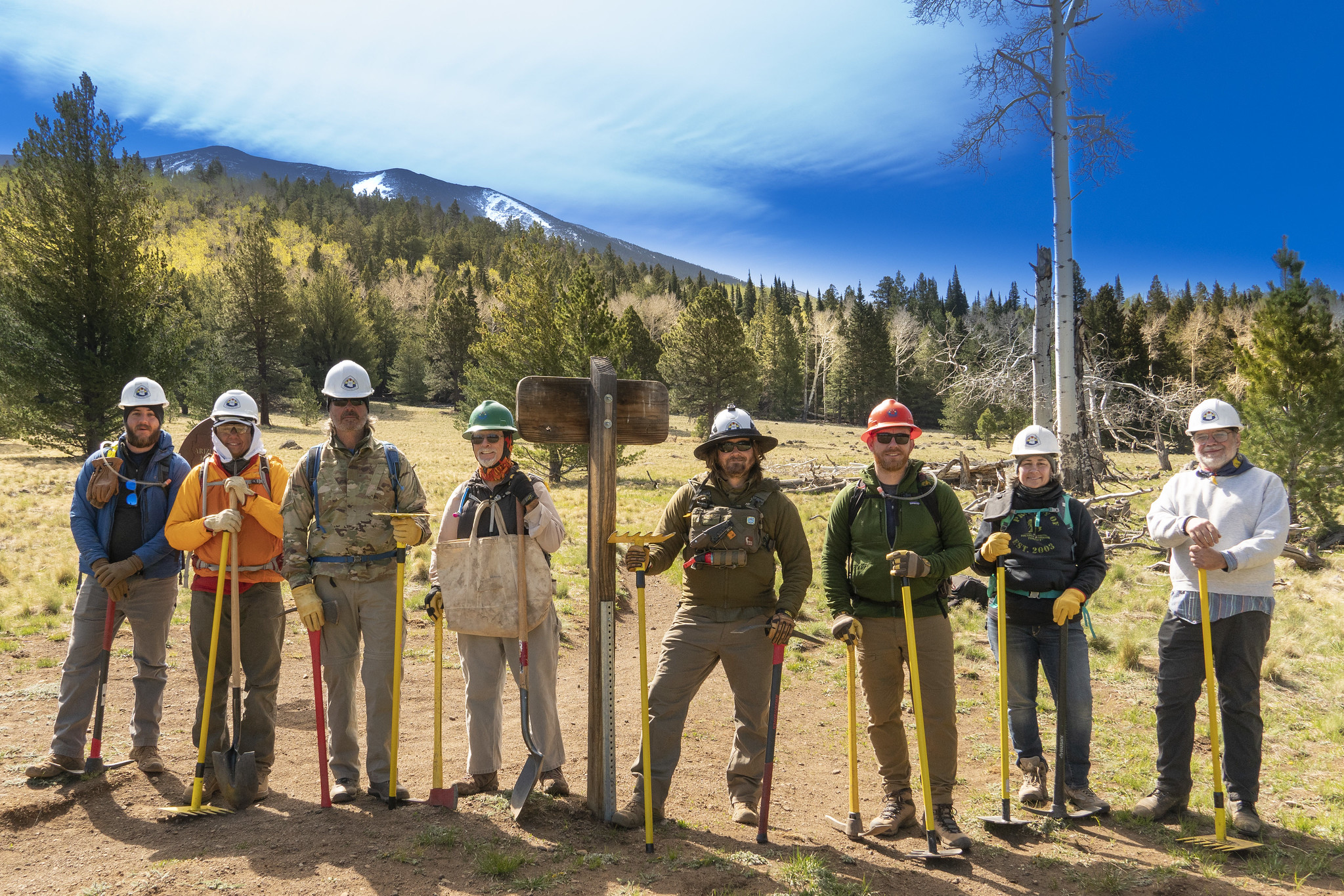
The Arizona Trail Association’s mission is to protect, maintain, enhance, promote and sustain the Arizona Trail as a unique encounter with the natural environment.
Latest Trail News
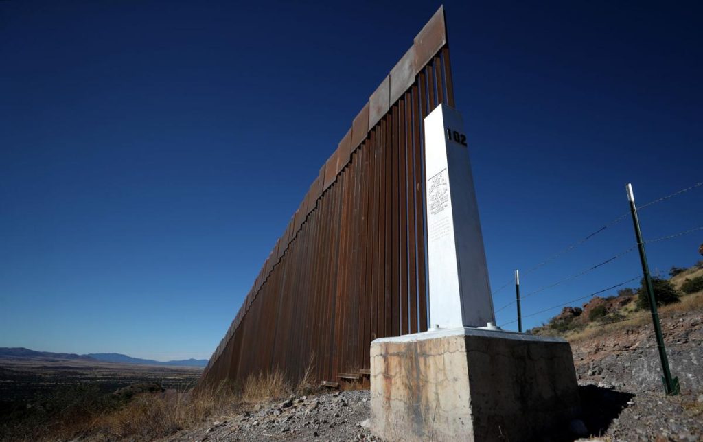
Increased Immigrant Traffic Near U.S./Mexico Border
April 5, 2024
Our partners at Coronado National Memorial have observed an increase in immigrant foot traffic activity over the past few weeks. Visitors to Coronado National Memorial have reported seeing people in camouflage near the border and on the Arizona Trail, although no direct contact between the groups has occurred. If you're planning a hike along Passage 1 this season, especially to Border Monument 102 at the southern terminus of the AZT, please review the Safety Alert on the National Park Service...
Read More
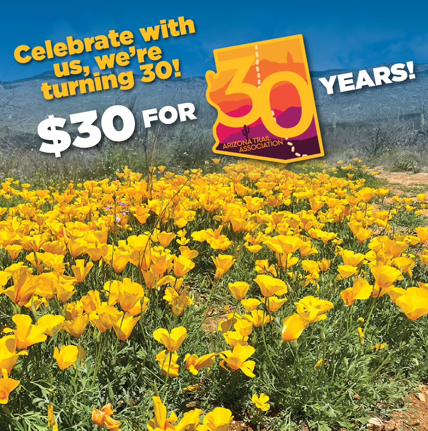
Help Us Celebrate Our 30th Birthday
April 4, 2024
We are turning 30 years old this year! Please help us celebrate by donating $30 or more. Your contribution supports our mission to protect, maintain, enhance, promote and sustain the Arizona Trail as a unique encounter with the natural environment. If everyone who had incredible experiences on the AZT donated, our trail construction and maintenance needs would be taken care of. But not everyone understands that trails don't just happen -- they need maintenance and protection. Please invest in the Arizona...
Read More
Pine Trailhead Closed During Restoration Project
March 26, 2024
From March through June 2024, the popular Pine Trailhead on the Tonto National Forest (Highline Passage) will be closed during the Poco Pino Restoration Project. The Arizona Trail remains open during this time, with a temporary reroute in place around the timber operations. Please follow the signs and pink flags, and cross Highway 87 with caution.
Read More
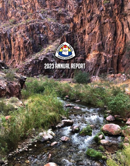
Annual Report Celebrates Highlights from 2023
February 21, 2024
Please check out our 2023 Annual Report, which includes highlights from all of our programs and operations. Within these 16 pages you'll find stories, photos and accomplishments from: Trail Operations Volunteer Program AZT VETS Youth Outreach Programs Goals for 2024 Business Partners and so much more Read the Annual Report online here, or download it and enjoy it at your leisure. Printed copies are available, too. Just email ata@aztrail.org to request one (include your mailing address).
Read More
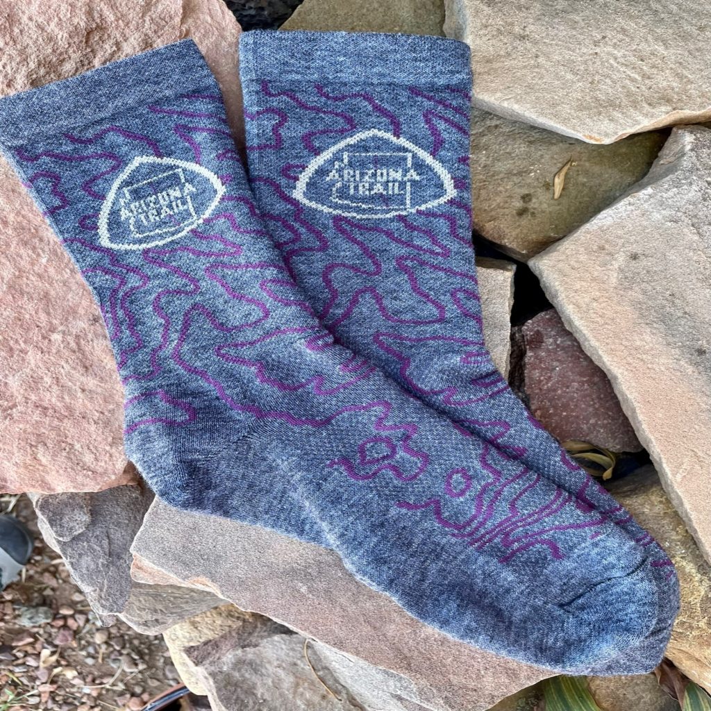
New AZT Wool Blend Socks
December 8, 2023
Show your love for the AZT by wearing these Wooleater® socks from DeFeet, which feature a plum topographic line print of the Colossal Cave Mountain Park area (Arizona Trail Passage 8). These high-top socks are made for hikers, mountain bikers, runners, backpackers, equestrians, and anyone who prefers Merino wool to other materials. Wool stays cool in heat, warm in cold, and is among the most non-odorous textiles on Earth. These socks are comfortable, sport the traditional Arizona Trail logo, and...
Read More

Camping Ban Near Flagstaff Impacts Passages 31, 32, 33, 34
September 5, 2023
The Coconino National Forest has expanded the boundaries of the existing year-round camping and campfire ban located adjacent to the City of Flagstaff in an attempt to lower the hazard from human-caused wildfires. A full map of the expanded camping and campfire ban, which went into effect May 1, 2023, is available on the Coconino National Forest’s website. This information is also on all Arizona Trail navigational resources, including the FarOut app, topo maps, passage maps, website, and other important resources so AZT users know where they can camp outside...
Read More
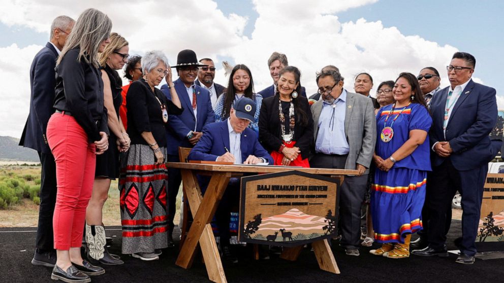
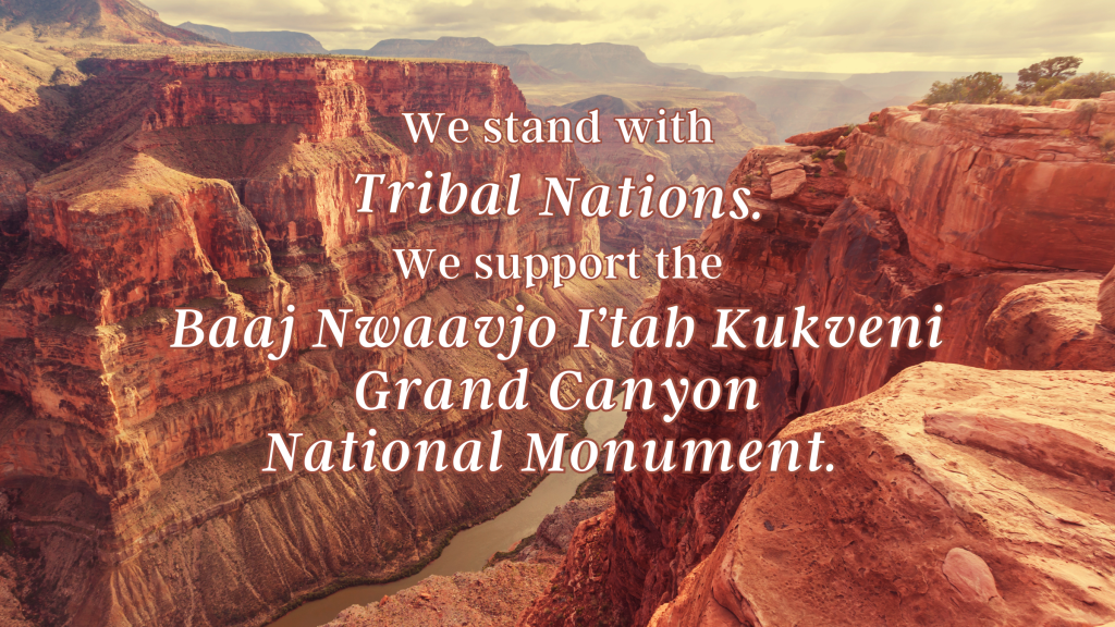
New National Monument Includes Protection for 40 Miles of the Arizona National Scenic Trail
August 18, 2023
On August 8, members of the Grand Canyon Tribal Coalition and leaders from conservation, sportsmen, recreation, faith and outdoor organizations joined President Biden as he used his authorities under the Antiquities Act to protect 917,618 acres adjacent to Grand Canyon National Park as Baaj Nwaavjo I'tah Kukveni - Ancestral Footprints of the Grand Canyon National Monument. This includes nearly 40 miles of the Arizona National Scenic Trail along Passages 36 (Coconino Rim) and 37 (Grand Canyon - South Rim). The...
Read More
Arizona Governor Katie Hobbs and the Arizona Legislature Support the Arizona Trail
July 20, 2023
The 2023 Arizona budget includes a historic $500,000 investment in the Arizona National Scenic Trail. The bipartisan budget shows the dedication of elected officials to support outdoor recreation and conservation efforts. Senator David Gowan (LD-19) sponsored the original appropriation bill. “The Arizona Trail is a gem within our state and creates an incredible opportunity for people of all shapes, sizes, abilities and walks of life to explore the diverse, natural beauty of our lands. The trail also contributes to the...
Read More
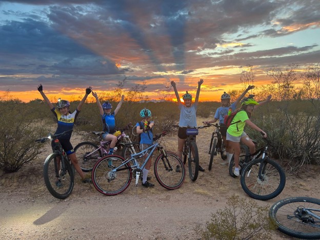
SHINE girl SHINE: An Introduction to Night Riding launches in Tucson
July 14, 2023
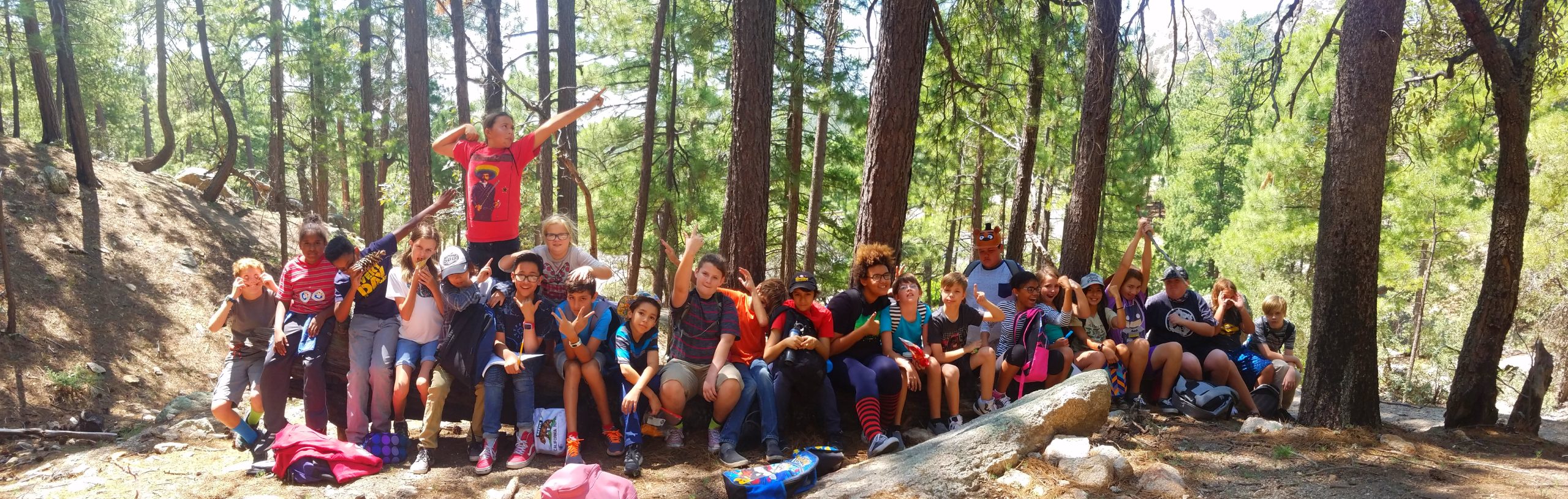
Merriam-Webster defines shine as (1) to emit rays of light; (2) to be bright by reflection of light; (3) to be distinguished; (4) to perform extremely well; and (5) to have a bright glowing appearance… … let’s face it, it’s TOASTY in Tucson… and we anxiously await the monsoon season. As adults, we are familiar with the summer outdoor exercise routine–either you are up and at it early or you wait until evening to head out. As part of the...
Read More

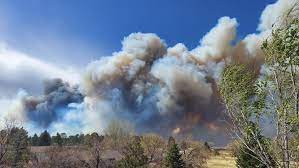
Stage 1 Fire Restrictions Begin
June 27, 2023
Beginning Thursday, June 29th Stage 1 fire and smoking restrictions will be in effect across the entirety of the Coconino National Forest and the Williams Ranger District of the Kaibab National Forest. Portions of the Tonto National Forest have been under Stage 1 restrictions since June 6, including the Mazatzal, Four Peaks and Superstition Mountain ranges. For information on all Arizona state and federal fire restrictions, including an interactive map, visit wildlandfire.az.gov/fire-restrictions. Additional information about the stages of fire restrictions, ...
Read More
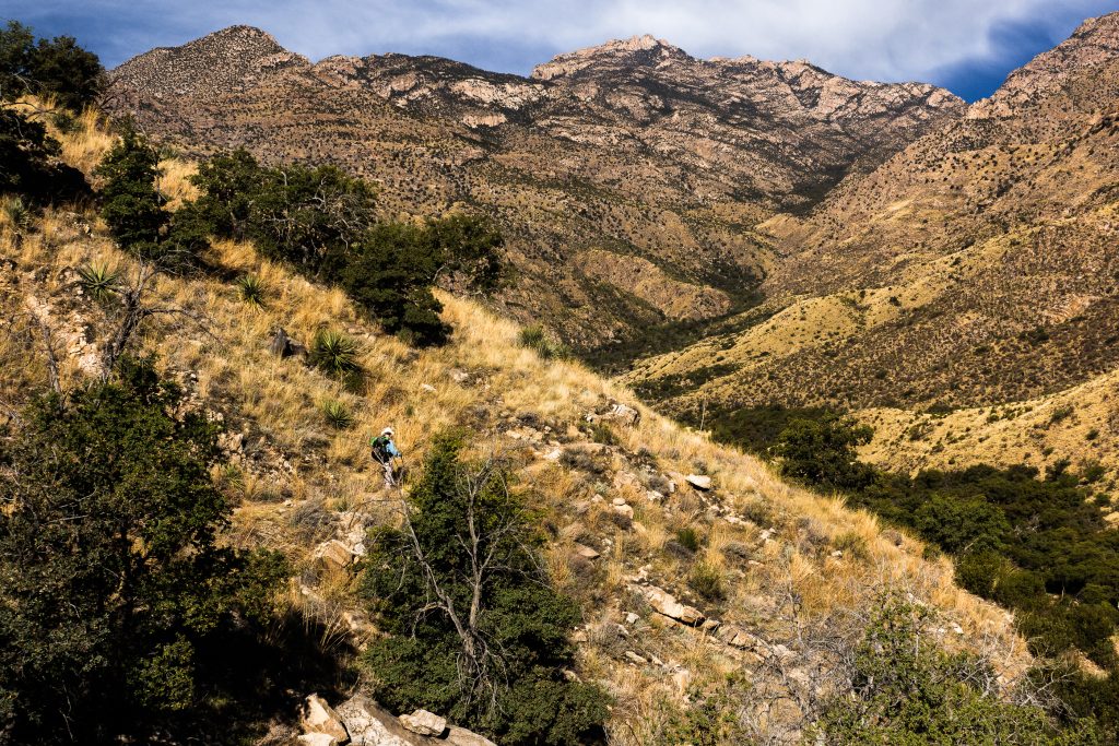
Coronado National Forest Releases Santa Catalina Trail Plan
June 23, 2023
After 18 months of hard work, our partners at the Coronado National Forest have released the first comprehensive trail plan for the Santa Catalina Ranger District, which includes the northern slope of the Rincon Mountains, Mount Lemmon, Summerhaven and Oracle Ridge. According to Adam Milnor, Recreation, Heritage and Lands Staff Officer for the Forest, the plan includes projects to "diversify trail opportunities, improve sustainability, create new trail connections and boost trailhead access" on the district. A number of the proposed...
Read More
Signatures needed to protect the greater Grand Canyon landscape
June 12, 2023
In late May, Interior Secretary Deb Haaland joined Raul Grijalva and staff from Senator Kyrstin Sinima's office in a visit to several tribes in the vicinity of the Grand Canyon and northern Arizona, including a first-ever visit by a sitting Interior Secretary to the village of Supai in the Havasupai Tribe's lands within the Canyon. Secretary Haaland met with tribal leaders, environmentalists, local officials and community members to learn more about the proposed Baaj Nwaavjo I’tah Kukveni Grand Canyon National...
Read More
Special Membership Offer for the Month of May
May 3, 2023
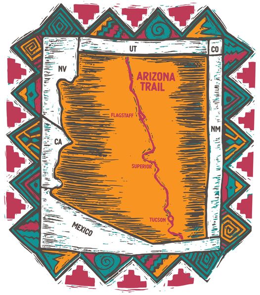
As you gaze in awe at the wildflowers and enjoy a memorable hike, run or ride along the Arizona Trail, please help us celebrate by donating today in support of our important Spring Fundraiser! During the month of May, a $25 donation will get you a one-year Arizona Trail Association membership and this special edition retro sticker. This classic Southwestern design was created at a time when a complete path from Mexico to Utah was still just a dream. Decades of dedication...
Read More
Rainwater Collector Installed Along Arid Segment of Arizona Trail in Pinal County
April 25, 2023
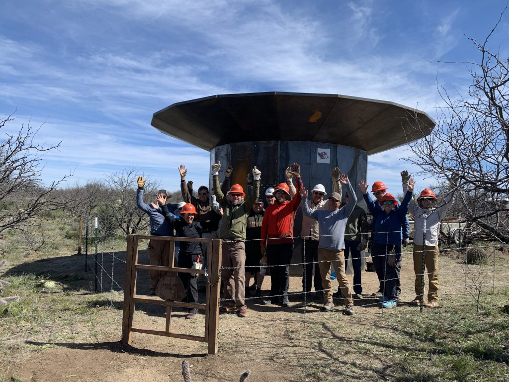
On April 6, Arizona Trail Association staff and volunteers completed installation of a Remote Rainwater Collector along a particularly arid segment of trail on Passage 15 in Pinal County. This unit is located north of the Freeman Road Trailhead on the ancestral lands of the O’odham and Western Apache, and holds 1,500 gallons of water. This is the second remote collector the ATA has developed in an effort to provide a reliable source of water in areas that have been...
Read More
New National Monument Proposal Would Protect Forty Miles of the Arizona National Scenic Trail South of Grand Canyon National Park
April 12, 2023
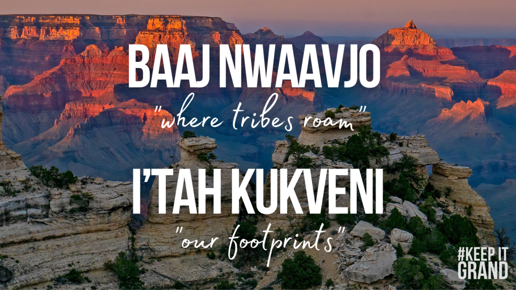
Yesterday, tribal leaders of the Grand Canyon Tribal Coalition, joined by Congressman Raúl Grijalva and Senator Kyrsten Sinema, launched an effort to call on President Biden to use his authorities under the Antiquities Act of 1906 to designate the Baaj Nwaavjo I’tah Kukveni Grand Canyon National Monument. Baaj Nwaavjo means “where tribes roam” for the Havasupai Tribe, and I’tah Kukveni means “our footprints” for the Hopi Tribe. The proposal builds on the tribes’ longstanding effort to permanently protect the region....
Read More
Annual Meeting Video Available Online
March 10, 2023
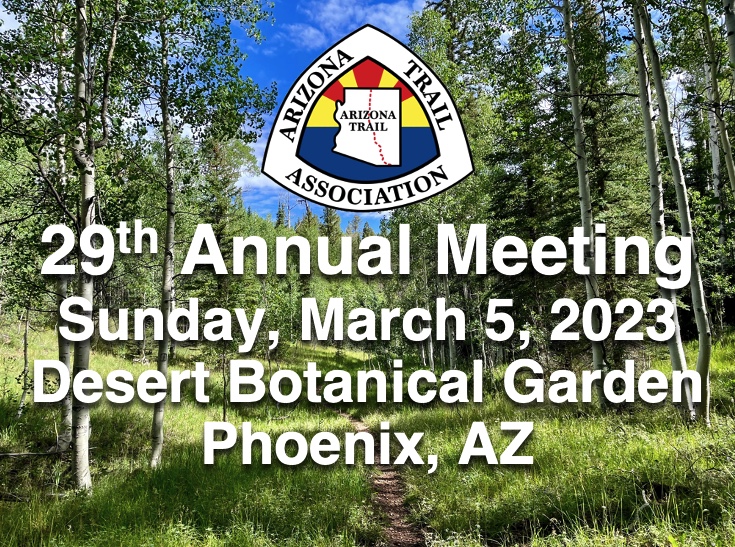
If you weren't able to join us at the Desert Botanical Garden for the Arizona Trail Association's 29th Annual Meeting on Sunday, March 5, please check out the video on our YouTube page here. Thanks to Craig Baker for capturing video and photographs from the big day!
Read More
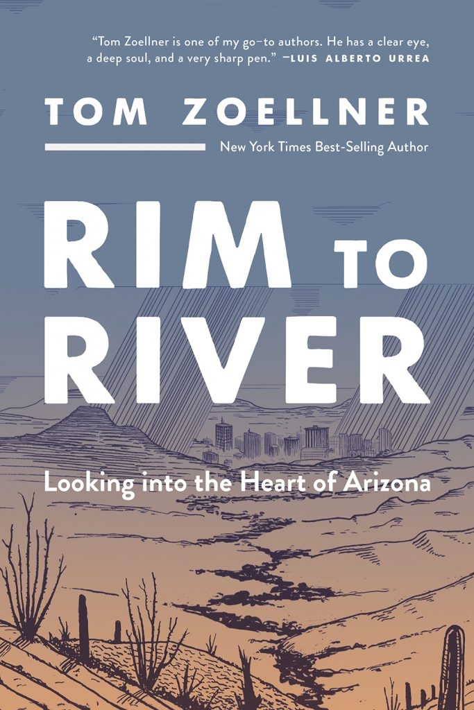
Award-winning author Tom Zoellner explores his relationship with Arizona in his latest book, written while thru-hiking the Arizona Trail
March 2, 2023
Tom Zoellner walked across the length of Arizona to come to terms with his home state. But the trip revealed more mountains behind the mountains. Rim to River is the story of this extraordinary journey through redrock country, down canyons, up mesas, and across desert plains to the obscure valley in Mexico that gave the state its enigmatic name. The trek is interspersed with incisive essays that pick apart the distinctive cultural landscape of Arizona: the wine-colored pinnacles and complex spirituality...
Read More
The Arizona Trail Association Supports Federal Climate and Clean Energy Investments
February 27, 2023
The Arizona Trail Association acknowledges our support for the federal climate and clean energy investments as part of The Inflation Reduction Act (IRA) and Infrastructure Investment and Jobs Act (IIJA) to encourage Arizona Governor Katie Hobbs, the new Office of Resiliency, state agencies, and Arizona’s elected leaders to deploy these investments to ensure they are getting to the communities that need them the most. The Arizona Trail is a vital resource for our state and nation. But in recent years we have seen...
Read More
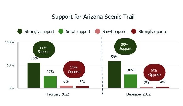
Poll Results Show Overwhelming Support for Arizona Trail & Arizona’s Outdoor Recreation Economy
February 24, 2023
In December, a multi-modal survey from TargetSmart engaged adults registered to vote in the state of Arizona to assess top priorities within the Grand Canyon State. Over 800 individuals participated via phone, text and online platforms to share their thoughts on policy priorities relating to our economy, environment, border issues, healthcare, education, partisanship and more. The poll has a credibility interval of +/- 3.5%. Some key findings related to the Arizona Trail and Arizona’s outdoor recreation economy include: 89% support...
Read More
